Whilst the ascent of Gingilos, 1,974m, is a reasonably straightforward ascent from Xyloscala * (see Explore ! – April 2014), summits across the Samaria Gorge – Melindaou, Pachnes and other peaks in the Levka Ori – are less easily attainable, and outside the scope of many visitors to Crete.
One shorter, easier, and rewarding ‘expedition’ is to walk up to the mountain refuge at Kallergi, a climb of 450m from Xyloscala, and enjoy wide-ranging views over the Samaria Gorge, Pachnes, Gingilos and the Omalos plateau .
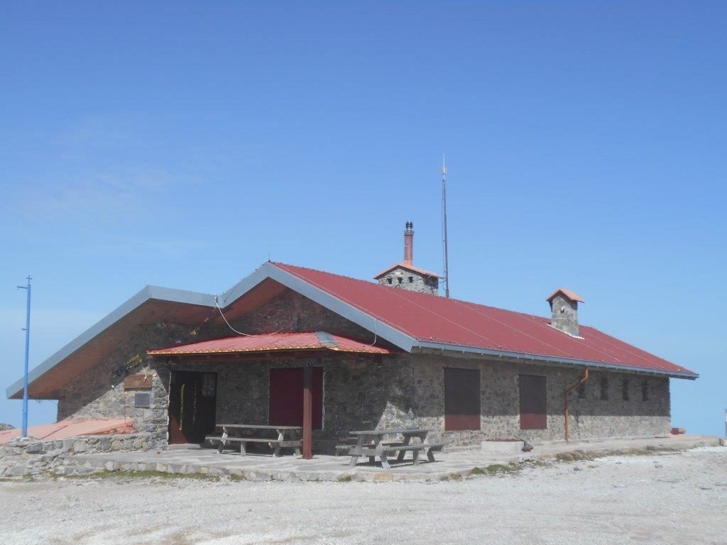
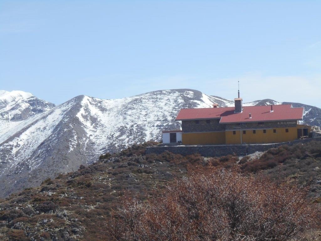
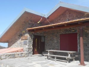
Situated at 1,680m on the north-west rim of the Samaria Gorge, Kallergi Refuge was built during the Greece dictatorship (1967-74), opened in 1971 and used for military training.
Afterwards it was taken over by the Chania Mountain Club (EOS), and is open daily during the summer months (May – October) and at weekends in winter.
An overnight stay is an experience, with accommodation (for 45) in bunks or an Alpine-style sleeping platform, and simple meals available. ** Onward routes include the difficult trek via Pachnes to Anopolis, the even harder E4 trail to the Niato plateau and Askifou, and through the Eligas Gorge to Agia Roumeli.
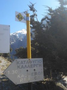
With the exception of a few setting off for Linoseli and Gingilos, almost everyone at Xyloscala will be heading down the gorge to Agia Roumeli, so leave the crowds behind, and take the path signposted E4 and ‘Kallergi Refuge 1 hr 30’.
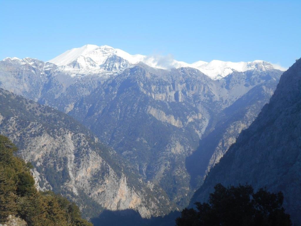
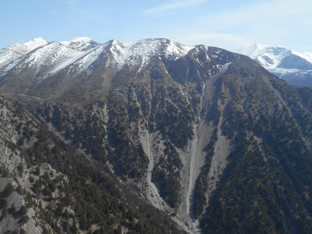
But first, gaze across the vastness of Samaria Gorge to Pachnes, highest White Mountains peak at 2453m, which usually holds snow until late June, but which this year, worryingly, had all but gone by mid-April (see photo at the start of the article).
The path climbs gently, contouring around the hillside above Xyloscala, and soon “the voices on the road, they have gone.” After twenty minutes or so, pass through a gate to join the rough service road, but before that, enjoy the view to the wide Omalos Plateau, now a thousand feet – 300m – below.
Turn right, uphill : this isn’t particularly inspiring, but height is gained easily and quickly. At the next bend, waymarking (blue & purple) leads up a gully, more directly to Kallergi, but this is loose, rocky, and you’ll lose the views, so better to stay on the road.
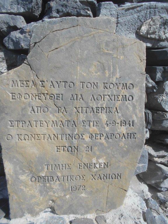
The top is marked by a small stone shelter (“koumi”) built in memory of a young Cretan shepherd murdered here in 1941.
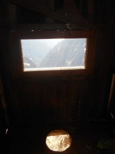
Kallergi is just five minutes’ away, and en route you’ll pass the legendary wooden toilet, overlooking (and overhanging !) the depths of Samaria, far below.
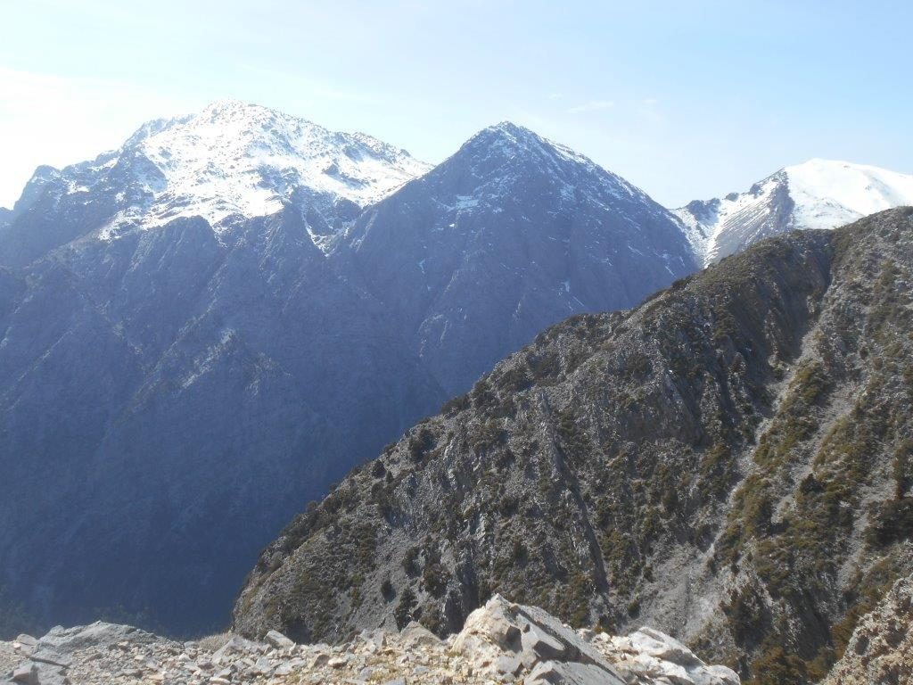
Views from the terrace are breathtaking – you remembered a camera and binoculars, didn’t you ?
South are Volakias, 2116m, Gingilos and Psilafi, 1984m,
to the east is Melindaou, 2133m,
and the ridge over Mavri, 1883m, to Psari 1817m (the route to Katsiveli traverses this high ridge.) Pachnes is more distant, with the cliff face of Zaranokefala, 2135m, away to the south-east.
There’s every chance of seeing eagles here, possibly Griffon Vultures, and if you’re very lucky the rare Lammergeier, or Bearded Vulture (recognisable by a distinctive diamond-shaped tail, and wing-span up to 280 cm) circling high in the thermals.
Descent is by the same way, either returning to Xyloscala or following the service road down to the Omalos plateau. There’s an alternative, from Kallergi over the Koukouli ridge heading north-west to Omalos village. I’ve not yet walked this route, but Christoforos Baladimas, the summer warden at Kallergi, who waymarked the path, tells me it takes around three hours, and is easier to follow in ascent rather than descending.
* Xyloscala is 65 km from Paleochora, through Rodovani and Agia Irini. An early morning
KTEL bus runs in summer, and both Notos Travel and Psarakis Taxis offer transfers.
One suggestion – tried and tested – is to climb Gingilos, stay overnight at Kallergi, and
next morning walk down to Agia Roumeli to take the “Samaria” ferry back to Paleochora.
** Bookings/reservations through Christoforos Baladimas at (0030) 28210 44647



2 comments
This looks a great trip Bob. Wish I was somewhat younger and before ankle replacement!!! ??
Certainly a lot higher than “Robert Tait’s Hill” on the Shetland Islands, just 70m above sea level, which we climbed together (East Face I recall) many years ago. We could arrange a lift for you, 4-wheel drive, up to the hut, enjoy the views (and lunch) then walk slowly back down ?