
It’s July in Crete, very hot, and only …. “ Mad fools and Englishmen go out in the midday sun “ Unless of course, someone recommends a walk starting high in the cool hills, winding down through shady forests, to end, late afternoon, in the Libyan Sea.
Take the ‘bus …
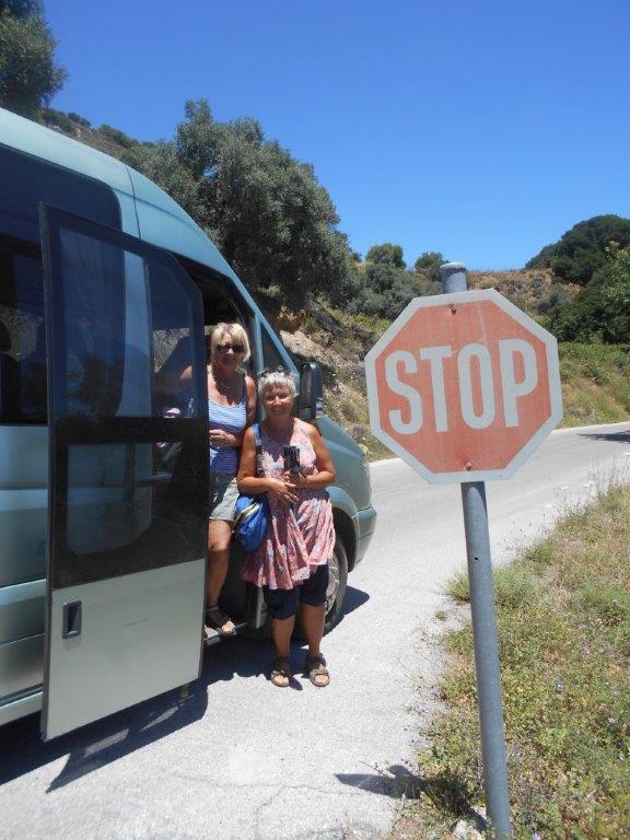
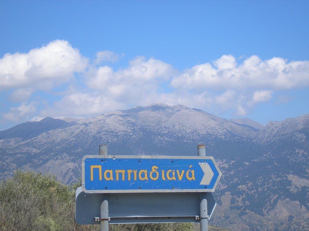
So here we go. Firstly, check in the Bus Station to ask if there’s a small KTEL bus service from Paleochora to Sougia (this usually operates in summer, leaving at 1 pm.) If not, book a taxi, around the same time, (or persuade a friend) to take you through Azogires (or Anidri) to Temenia, and ask to be dropped off at the turning to Papadiana, 1 km further on the road to Maza/Rodovani. Make sure you take sun protection (cream/hat), plenty of water, and swimming things for later.
But – secondly – there’s a short section of this route, around 2 km, which is more than just a “walk”, and involves a short rocky scramble, a narrow but waymarked trail, careful path-finding, and the descent of a steep hillside. The good news is that this can be avoided, and you’ll still reach Sougia in time for the ferry home.
.. and start here
So, reaching the start by ‘bus or taxi around 1.30pm, set off down the road, keep right at a junction, and walk down to a water cistern, where you fork left. Initially leading downhill, the track contours around the head of the long Kamaria valley, and soon Mertes comes into view.

Over Mertes
Entering the forest, keep right at a junction, down into the village. Recent renovation here, with several well-fed cats now in residence. A surfaced road leads out to Zimvrou and Maza, but follow the rough track eastwards down the valley, below the pines.
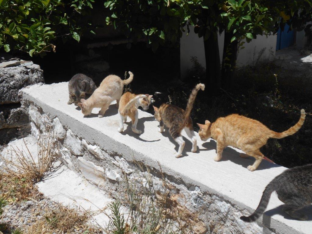
Mertes cats
At a fork take the less obvious track right, where it’s overgrown and often muddy, but press on. Just over 1 km later, after passing below a photogenic dry-stone wall, the track reaches Aidoni, with a spring of fresh water nearby.
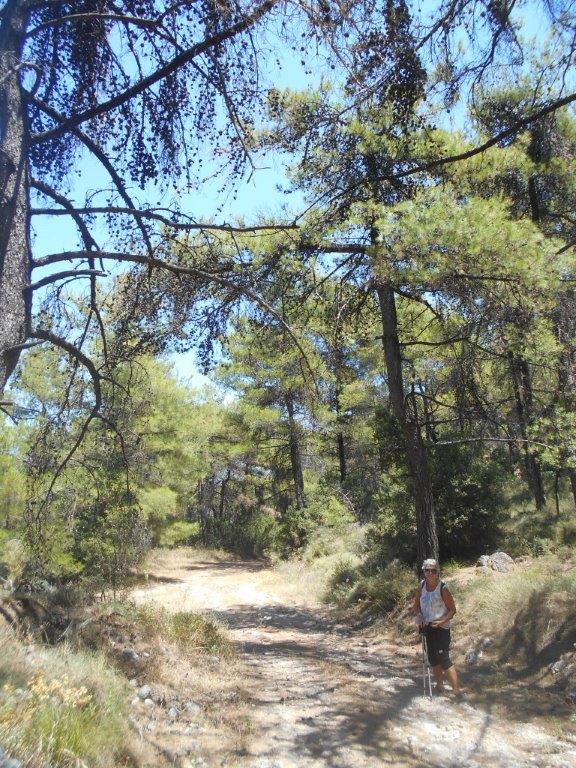
Through the forest
Turn right here, down to cross the usually dry riverbed; now easy walking, to pass first the church of Panagia, and then above houses at Vagiana., with Kamaria across the valley.
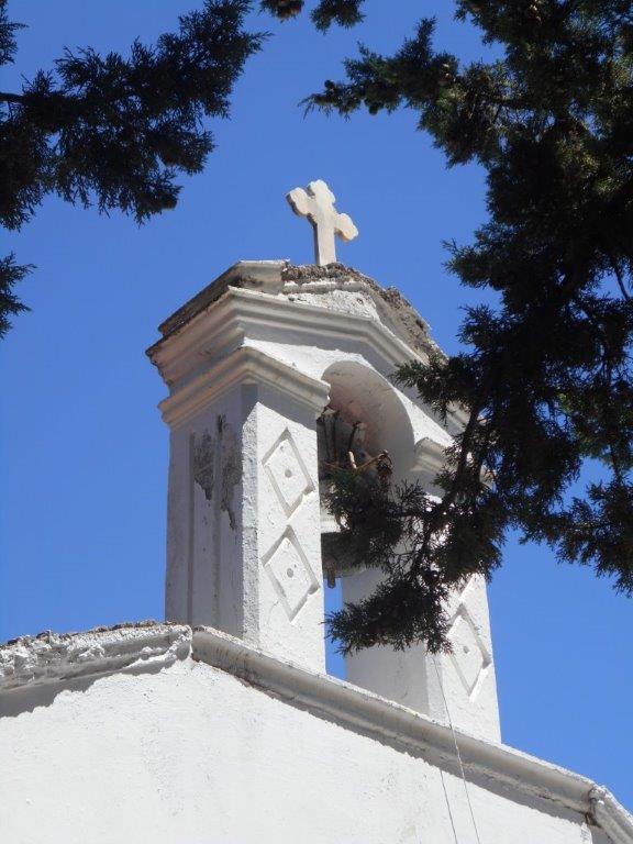
Panagia
Through the forest, until after a large concrete water cistern, the track loses height via several bends to reach another fork (cistern nearby), where you turn right. (Left would take you to Kamaria and up to Rodovani). And 250m further on, at the second track junction, it’s decision time.
The non-adventurous will turn left here, climbing to meet the road at Agios Christos, and following this (right) to Moni village. If the 5 km down to Sougia doesn’t appeal, then after a drink in Michaelis & Monica’s taverna, call Giorgos (Falagaris) 30-6972370480 for a taxi ride.
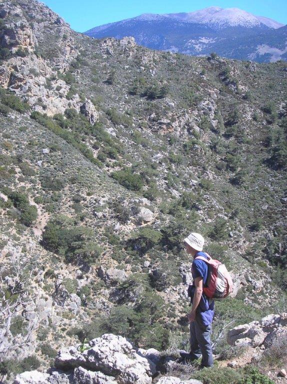
For the more direct route, continue ahead, the track narrowing to a path and then a footpath, with two gates to pass through en route, and a fence left. Progress appears to end where the path bends left, and a steep ravine enters from the right; ignore red paint marks disappearing up the latter, and instead go left, where remains of an old stone’kalderimi’ rises through trees to reach open, and rocky ground.

‘kalderimi’
Look out for faded red paint dots, taking you to a more obvious ‘mule trail’ a few metres higher, which would have been the original link between Kamaria and Sougia.
View from path
All straightforward …. for now … as the path winds around the hillside, high above the Kamariano Gorge (see ‘Explore’ – May 2014). “Look well to each step …” as Whymper advised, and look also for intermittent (red) waymarks and stone cairns. And soon, as the path bends to the south, look down left for a clearing in the forest far below you – this is where you’re making for. The Anavasi hiking map (Crete 11.13) shows the path continuing almost into Sougia – it doesn’t, believe me! Probably it once did, but now it’s impossible to locate.
So, when the path rises to a flat spur of thorny bushes and ‘scrub’, with the sea and Gavdos now in sight, swing left (with good, recent red waymarking) to pass a line of wind-bent pine trees, beyond which comes the steep, but mercifully short descent of the ridge, to reach the open area seen earlier.

No “sting in the tail” on this route (although the descent might have qualified), merely a walk alongside the Kamariano brook to the main road, and then, anticipating all that seaside Sougia promises, a further 1.5 km into the village.
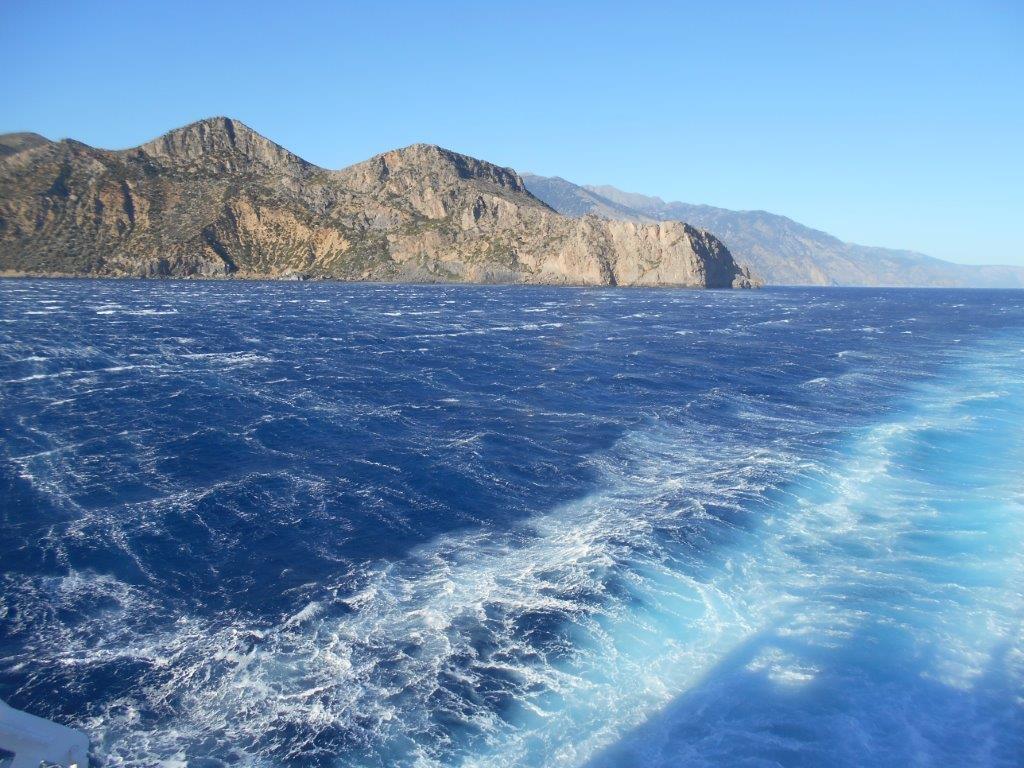
Homeward bound aboard the Samaria
Footnote
Currently, the KTEL mini-bus leaves Paleochora at 1pm daily, through Azogires, and the ferry from Sougia at 6.30pm. Walking time for the route is approx. 3.5 to 4 hrs.

Recent Comments