
Long ago, before God invented ‘pick-up’ trucks, thus necessitating bull-dozed tracks and roads, communication between Cretan villages and ‘neighbourhoods’ was on foot, along shepherds’ paths or mule/donkey trails. Some of these still exist, notably from Azogires both to Anidri and Spaniakos, and a beautiful but little-used route from Prodromi to Kamaria and Rodovani.
Others have been destroyed, replaced by “modern” roads, or become overgrown through neglect. A friend from Spaniakos, now living in Chania, tells me how he walked with his family from Kalamos over to Kondokinigi, and on to Voutas and beyond. But that was over seventy years ago, and I can now find little trace of a path through dense gorse and oleanders, with wire fences often blocking progress.
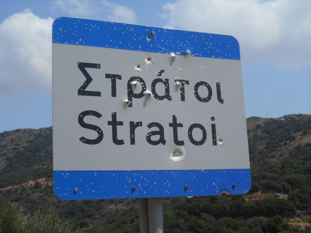
Surmising that there ought, and once had to have been a route from Achladiakes and Strati, over the ridge to Kadros and other villages in the valley below Kantanos, it was immensely satisfying to find it. The route is actually marked on the Anavasi hiking map (Crete 11.3) as a “faint path”, and although indiscernible for much of the way, sections of it do still exist.
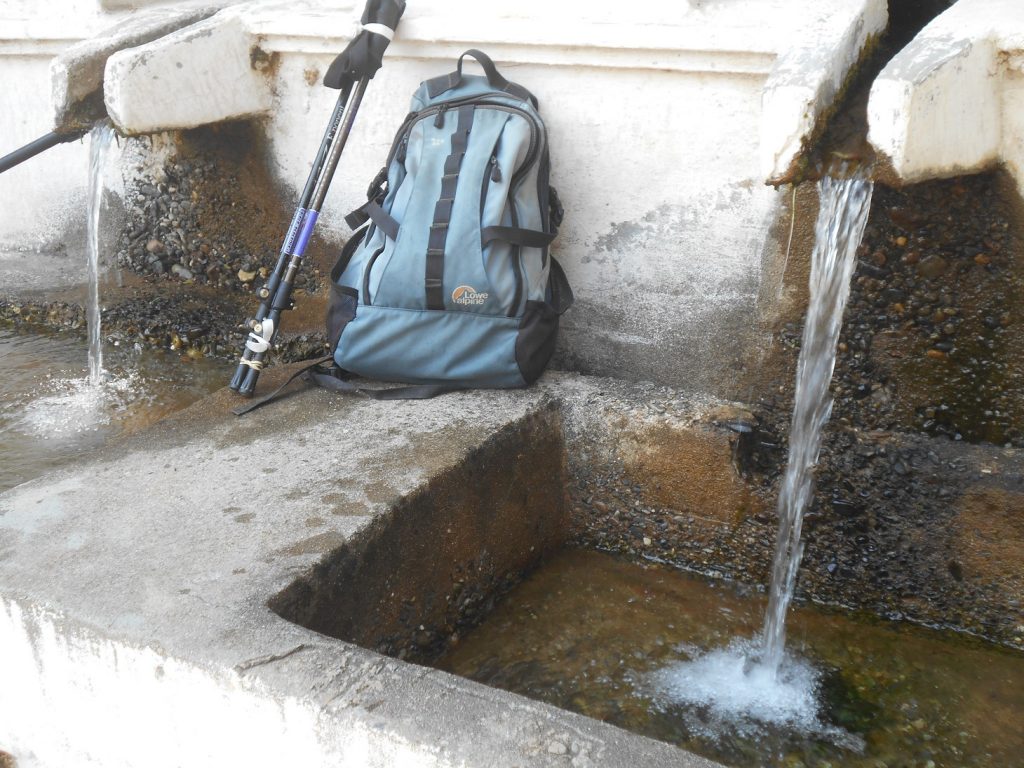
Begin the walk, four hours or so if you include a visit to the Archaeological Site at Kadros, from the water springs in Strati, 14 km from Paleochora through Azogires. A ‘bus service runs through here during the summer months. Leaving the village on the main road south, listen – in winter or early spring – for the waterfall, the largest in the Selino area, in the valley far below (ref. Explore ! – February 2018).
Hereabouts, in July 1896, was fought the Battle of Strati, between Cretan Muslims against, and far outnumbered by, their Christian counterparts heavily armed with rifles. During the long Turkish occupation from 1669 to 1897, many Cretans either forcibly or voluntarily converted to Islam, which entitled more favourable land and water rights, and less taxes. Spaniakos, in 1881 with a population of 146, and almost all Muslim families, is probably the best example. Azogires (pop. 146), Achladiakes (70), Strati (79) were all predominantly Muslim villages. But nearby Anidri, Prodromi, Asfendiles, Platanes, and not far away Kandanos were all mainly Christian, who undoubtedly suffered greatly under Turkish rule and understandably took matters into their own hands
From historian Mick McTiernan : “ Throughout Selinos in 1896 there were continual disturbances, some relatively small acts of murder and mayhem, others on a much larger scale allegedly involving hundreds of participants.” And at some point between July 3rd and August 6th 1896, culminating in the ‘Battle of Strati’ where the Turkish (Cretans) incurred heavy losses :“ In Selinos the Musselman villages of Stratus, Ahladiakes, Azories and Aligous have been burnt, as also part of the olive trees.” (*)
“ One of concerted efforts being made by the Cretan Christians to ‘encourage’ Cretan Muslims to leave their villages, their land probably appropriated by their Christian neighbours. ”
The following year, 1897, at Beilitika above Kallithea, was signed “The Treaty of the Surrender of the Turks of Selino” (ref. Explore ! May 2017) which signified the end of the Muslim presence in the area, “and we were freed after three centuries of slavery.”
Years later, many local Cretan Muslims were compulsorily expelled from the island in the population exchange between Greece and Turkey, following the 1923 Treaty of Lausanne, but that’s another sad story.
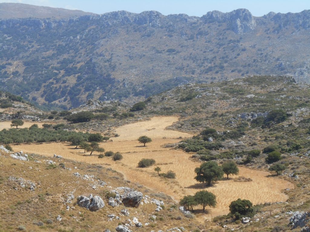
Back to the walk : after some ten minutes, take the (second) track leading SW to a metal gate, often padlocked, but if so, access is through the wire fencing to its left. Head on uphill, through another gate to the area known as Limnia. There’s a feeling of James Hilton’s “Lost Horizon” about Limnia, and it’s easy to believe the story/legend that there was an Ancient Kingdom here in the mid-1800s, its large and rich population growing pears, almonds, olives, cultivating vineyards and cereal crops, and of course keeping sheep and goats. “Limnia” means ‘lake’, and although there was never one here, the sheltered well-drained area, surrounded by high cliffs, is like an inland ‘oasis’ cut off and isolated from the rest of the world.
When the track bends left towards farm buildings, go right through the fence (gate). On our recent visit, ploughed fields already showed the first shoots of winter wheat. The ‘path’, once between low stone walls, leads to the western end of Limnia, and another ‘gate’, at the foot of a short 160m climb to the ridge above.
Keeping close to, and right of the fence, the best views of Limnia are from this ascent ; far away are the White Mountains, with the Dorian city of Yrtakina less distant. Bending right with the fencing, reach the ‘col’ at 712m, and look for the “crossing point”, marked currently by a red board ( 10m right of a fence junction).
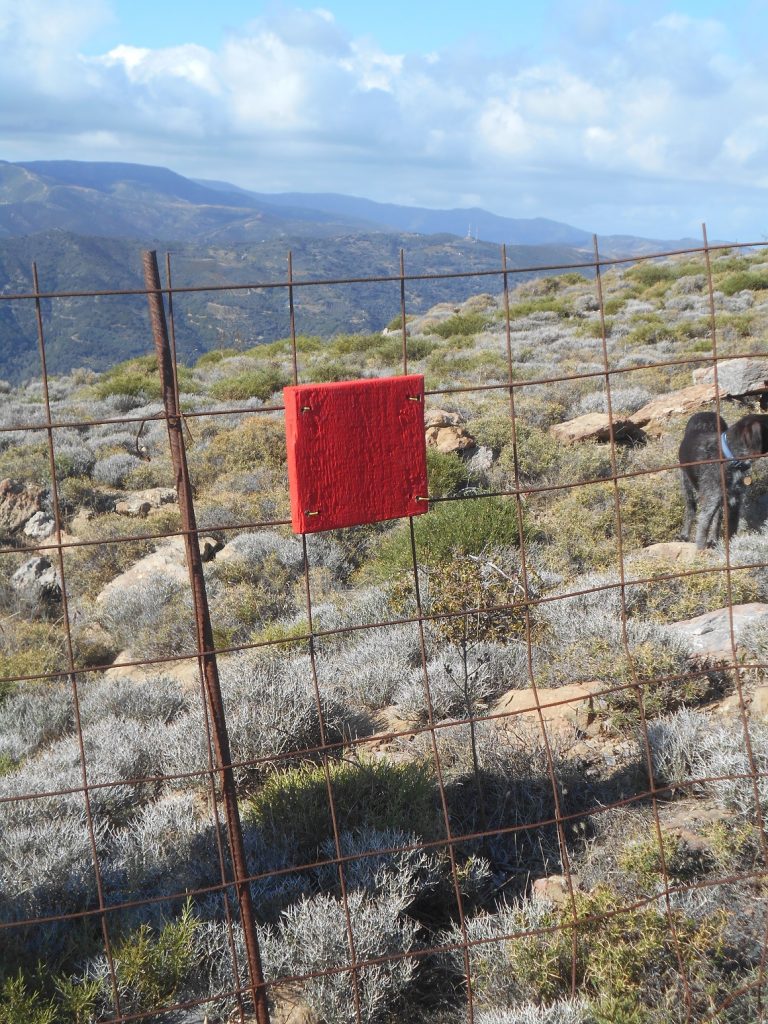
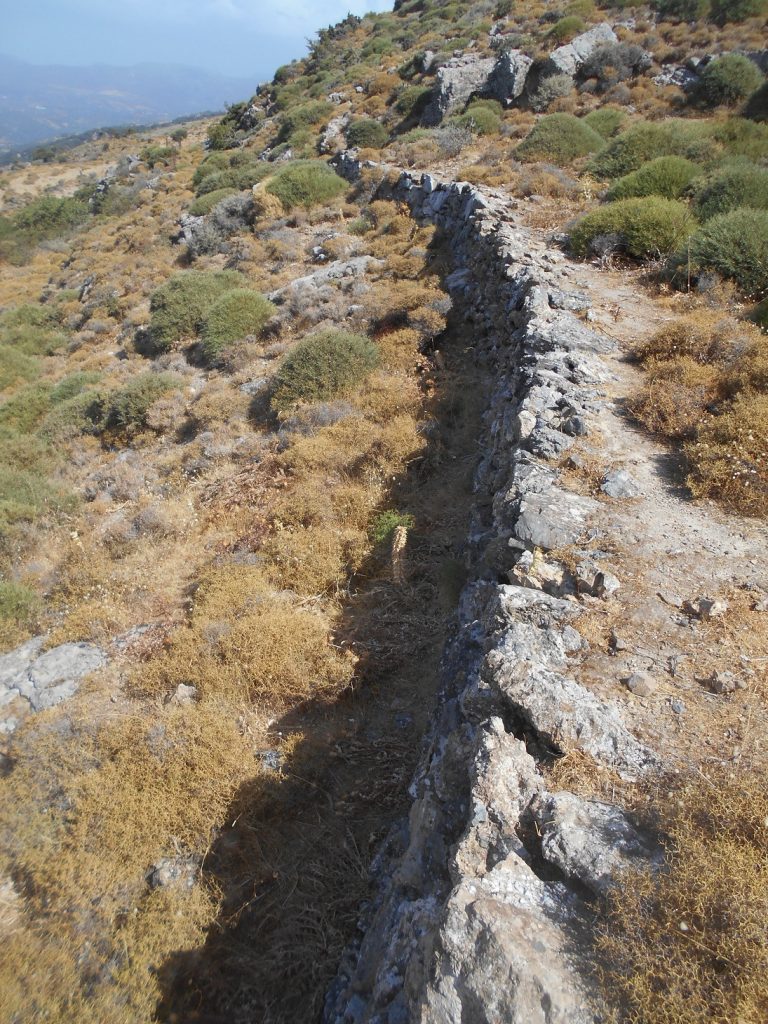
Care now, over a short section of rough ground ; keep the fence to your left, and if you soon reach a 1 metre high stone wall (see photo) you’re on course. Just below is another fence, where you turn right – alongside this, heading north.
This is the ‘faint path’, which soon leads to one more definite, then onwards (gate) to become a clear track, first turning west, then south, always downhill. Avoid any side turnings, to reach the high-level surfaced road from Kobiana hamlet.
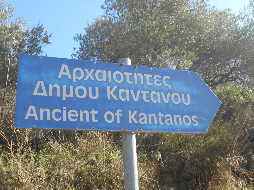
Turn left here, and soon reach the junction signed to ‘Ancient of Kantanos’. If you’ve not visited this Dorian city/fortress, the short ten minute diversion is highly recommended.
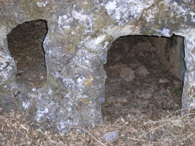
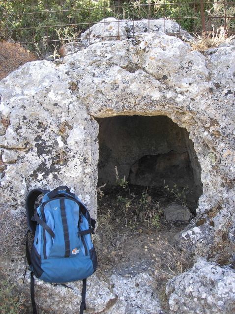
Much more about the site in Walk 5 in my guidebook ‘Ten Walks from Paleohora’, along with photographs of the carved rock-tombs, the mini-gorge, and hill-top church of Profitis Ilias, a splendid viewpoint over the valley from 594m.
From the earlier junction, it’s an easy 2.5 km walk down to the main road, avoiding a turning left (leading to Spaniakos) before Kadros, and another (to Periana) below the village.
* Report dated 12th August 1896 from Alfred Biliotti, British Consul based in Canea to the Marquis of Salisbury, UK Foreign Minister in London.
Many thanks to Mick McTiernan and Eftichis (‘Lucky’) Koukoutsakis for their contributions

1 comment
Thanks Bob. Good to see you still walking well. Take care,