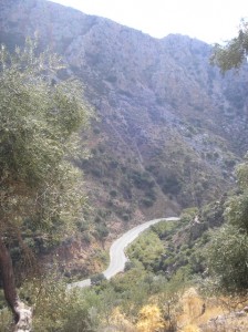
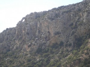
Approaching the village of Voutas, 12 km north-west of Paleochora, the eyes of walkers, cyclists or car passengers (not drivers, please) are inexorably drawn across the deep valley of the Pelakaniotikos river to a prominent natural arch high among the rocks on the opposite hillside. What an exploit it would be, I’ve often thought, as Lynne and I travelled frequently along the road to visit friends in Voutas, to stand directly underneath the arch, or even possibly on top of it. Access from below looks impossible, so it would have to be from above, from a rough road which contours around the mountain of Chasiou Korifi.
Deciding to make an expedition of it, we set off on mountain bikes mid-morning in late October from Pachia Ammos, Paleochora’s long sandy beach, climbing steadily through ‘Panorama’ on the Voutas road.
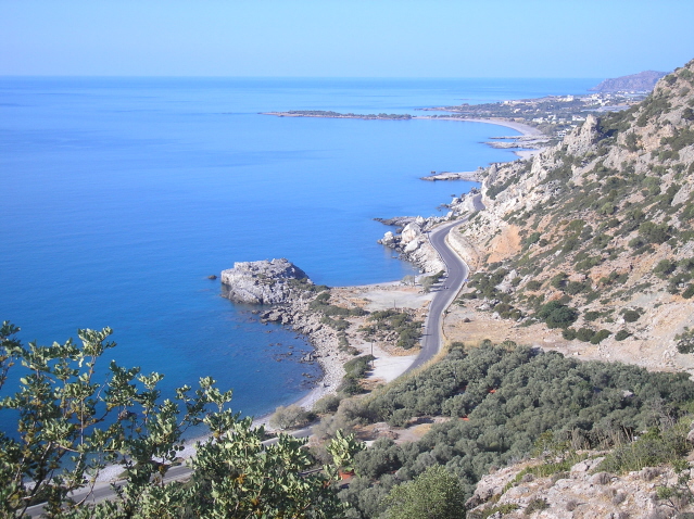
Great views along the coast from here, with the town soon left far below. Swiftly down through the hairpin bends to Tsaliana, then more slowly alongside the river through Kondokinigi to the turning to Sarakina. And whilst not Vermont or New England, the autumn shades of deciduous trees in the riverbed, mainly plane, oak and sweet chestnut, were impressive.
A short rise to the roadside chapel of Agios Antonios, where the road at last levels out, and soon afterwards our first view over the valley to the conspicuous rock arch.
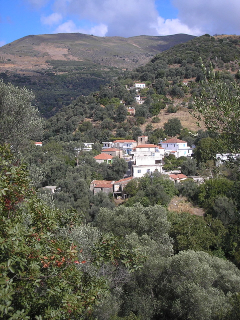
Voutas, which we reached in ninety minutes from Paleochora, is a somewhat quirky village, much larger in yesteryear before many inhabitants bought land in Koundoura and moved out to grow vegetables. There are a couple of basic cafenions, and more important for us, a tap with fresh, cold water.
We took the turning to Sklavopoula, and after crossing the river, forked left on the road less traveled, signed to Chasi. Cycling requires energy, which in turn necessitated high-calorie ‘kalitsounia’, cheese and spinach pies, and a rest overlooking Voutas.
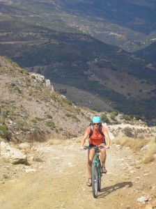
Reaching Chasi, we branched left, the surfaced road ending almost immediately at a recently white-painted church. The track, rough in parts (and it would become rougher), rises gradually, and as the terrain deteriorated, the views improved. At the high-point of 450m we could gaze across the Libyan Sea to Gavdos island, and the Levka Ori – White Mountains – away to the east.
And here we left the bikes, climbing a rocky eminence above where we estimated the rock arch must be, maybe 100m below us, with the river a further 200m down, in total almost a thousand feet to the valley floor. And we looked for a descent route among sharp rocks, crevices, boulders and ‘phrygana’ – scrub and bushes – which would, we thought, take us there. And the longer we looked, the more we thought … “we’ll leave this for another time, when there are more of us and we have a rope and climbing gear.” So we did …. watch this space.
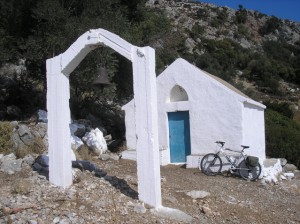
Back in the saddle, we followed the track past some ruins, keeping right above animal enclosures to a different ‘saddle’ (or col), where began the long descent to the coast. En route we stopped at the isolated church of Ag. Nikitas, inside which are some splendid frescos in excellent condition. Presumably this was too remote for Crete’s Turkish occupiers, who defaced and damaged many frescos before leaving the island c.1898.
The “long and winding road” to sea level at Grammeno is around 6km and 400m descent, with good brakes and tyres essential, a helmet advisable. In the latter stages, approaching the extensive greenhouses of Koundoura, the immediate landscape and discarded debris alongsid the track is unsightly to say the least. But next time you’re enjoying a Greek salad, or tasty ‘gemistes’ at your favourite taverna, remember that the tomatoes were probably grown here.



Recent Comments