
During the many years Lynne and I were exploring the Selinou area of SW Crete, we worked on the premise that all villages and small hamlets were, or once had been, connected and inter-linked by a network of footpaths and donkey/mule trails. The best-known locally are the paths between Spaniakos and Azogires, and especially the popular route from there to Anidri. A recently re-discovered path links Asfendiles with Anidri, whilst the most spectacular I know in this area is from Prodromi to Kamaria, more of which below.
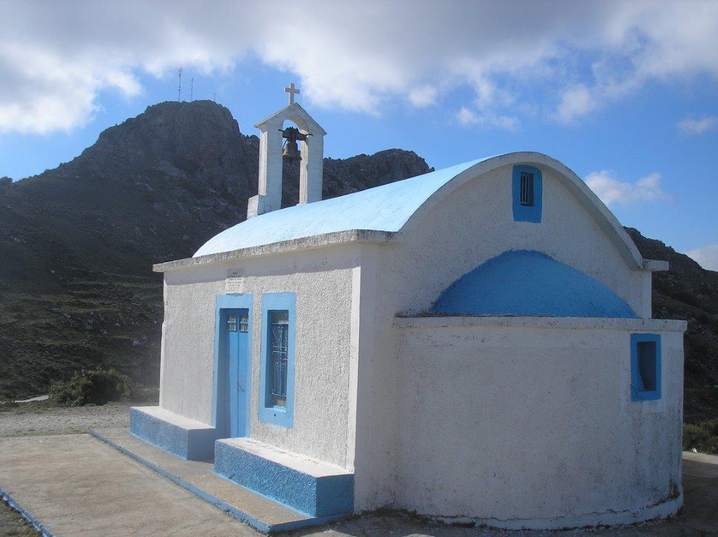
Here’s a circular walk of around 16km (which can be reduced to 10 km), linking three villages in the Kamaria valley – Papadiana, Mertes and Kamaria itself. You’ll need a car to drive through Anidri, on to Prodromi and a steady climb further along the road towards Temenia, to park at the pretty blue and white roadside church of Agios Ioannis, almost 800m above sea level, and 18km from Paleochora.
Start of the walk
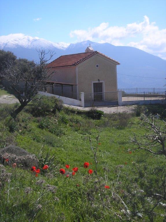
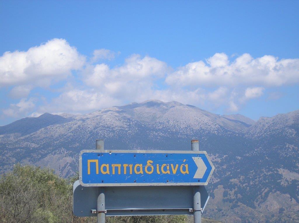
From the church, walk on along the Temenia road, with the former Dorian stronghold of Yrtakina above (see ‘Explore’ February 2011), and views into the Kamaria valley below. After 1.5k turn right on the road to Maza, but at the first bend take the track left to (another) Ag. Ioannis church, enjoy views of the White Mountains (see image at the top of this article), then drop down to re-join the road, and take the side turning into Papadiana. Keep right at a junction, and walk down to a water cistern, containing golden carp fish, maybe turtles, and overhung by that “loveliest of trees”, a cherry which fruits in late May.
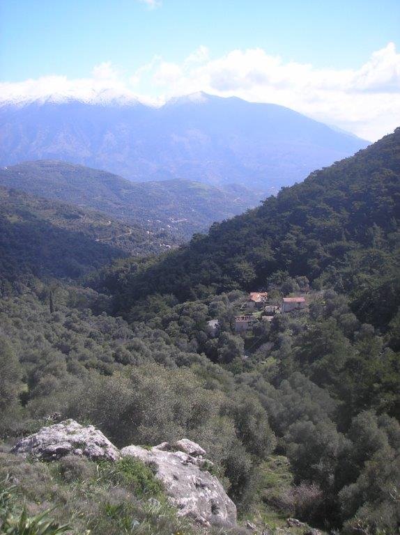
Initially leading downhill, the track soon begins to contour around the head of the valley, and with Mertes, the next village, in view below.
The view to Mertes
Dating from Minoan times, Mertes always appears uninhabited now, but several well-fed cats indicate otherwise. A surfaced road leads on to Zimbrou and Maza, but instead, follow the rough track eastwards down the valley, below the pine forests. In spring and summer look out for the attractive Cretan ebony (Ebenus cretica), one of over 150 plant species endemic to the island.
Cretan ebony
Just over 1km later, and after passing a rather spectacular dry-stone wall, the track meets another at a spring of fresh water. Go left here, to reach the surfaced road down from Rodovani, and turning right, follow it pleasantly into Kamaria. Or, to shorten the walk, turn right at the spring, see below.
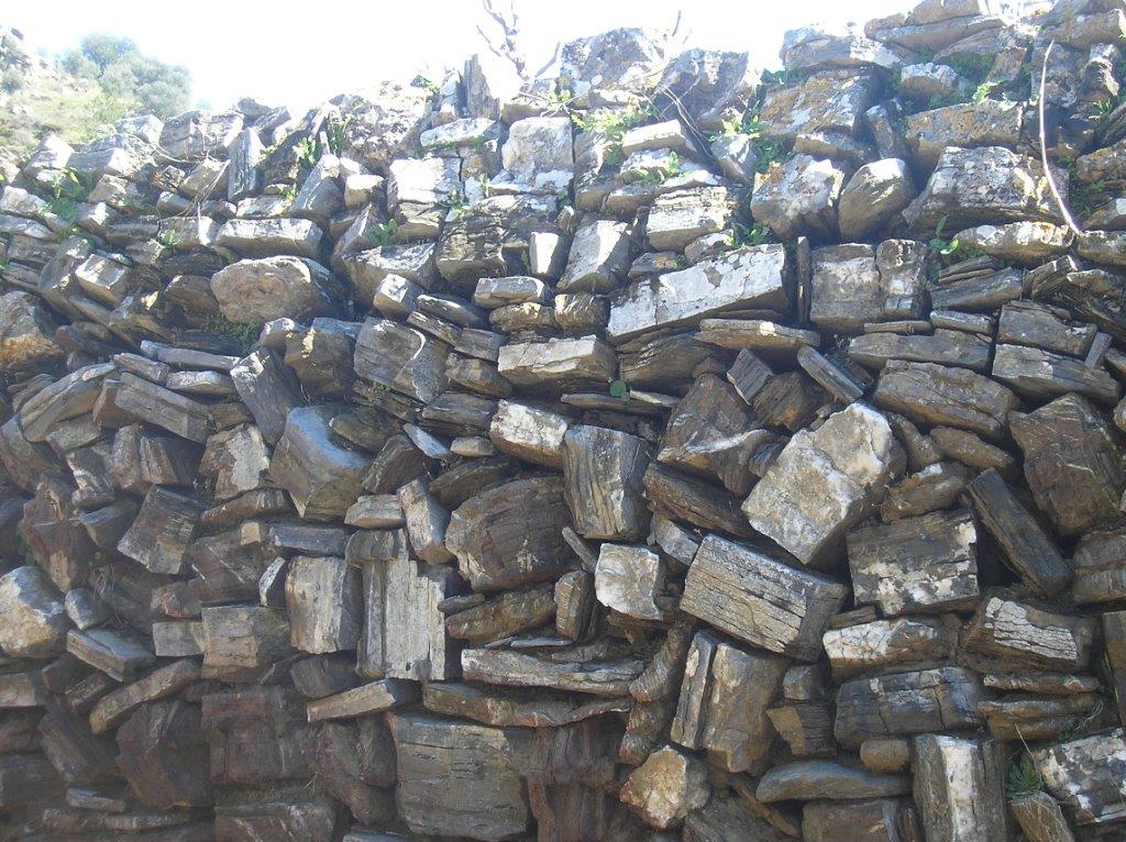
Dry stone wall
It’s good to see some recently renovated houses in Kamaria, although the village still doesn’t have a kafeneio, which would be welcome. Continue along the road (which eventually leads to Moni, 5 km north of Sougia), but after some ten minutes, take a track right, steeply down to cross the dry riverbed. This is the upper part of the Kamariano Gorge, about the descent of which later this year. Keep close to the river for 250m, then take the (first) track right, which climbs steadily via several bends before levelling out at a large concrete water cistern. Now comes a delightful 1 km walk through the pine forest, with views to Kamaria across the valley, and taking you to the church of Ag. Panagia.
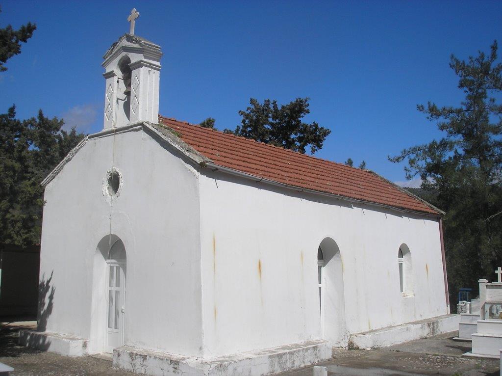
Ag Panagia
Beyond here the track continues to the spring passed earlier, from where you could reverse the route through Mertes to Papadiana. Alternatively, just 150m past the church, look left for a small cairn of stones, which marks the start of a path climbing 300m (nearly 1,000 ft for UK walkers!) to the col at Seladha.
We’ve been this way before, on the walk from Rodovani to Sougia (see ‘Explore’ Sept. 2013). The ascent is gradual, once enabling mules to transport loads between villages, including, so I’m told, salt collected from the Anidri beaches and taken to Kamaria, Maza, Rodovani and beyond, in exchange for fruit and vegetables, mainly potatoes and apples grown locally.
The varied scenery on this walk hasn’t yet included a sea view, but is rectified on reaching the ridge, where the Libyan Sea stretches out far below. This is a ‘cross-roads’ of sorts, the path to Sougia turning east, the mule-trail to Prodromi contouring around the hillside ahead, and we scramble up right, to quickly meet a wide track, and a 3km walk, high above the villages walked through earlier, back to Ag Ioannis.
All this walk, for which you should allow 5/6 hours for the full route, is covered by the Anavasi 1:25 000 Samaria/Sougia map. It’s worth noting that in summer, the 6.15am Paleochora bus to Omalos & Samaria Gorge would drop you at the turn to Papadiana, from where you could meander down the valley to Moni, on to Sougia, and return to Paleohora by ferry.

Recent Comments