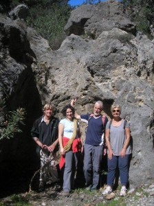
Flashback to mid-March 2013, just over a year ago. Four friends and I were nearing the end of what was almost certainly the first descent of the Kamariano Gorge, north of Sougia. The difficult part was over – a vertical & overhanging 6m drop involving lowering and abseiling. All that remained was a steep groove into a 3m wall, then an easy walk down the riverbed to the gorge exit, cars, and a celebratory drink in Sougia. I safeguarded Michelle, Phil, Dick and Laura as they climbed down a fixed rope, then clipped my doubled rope into a karabiner, and set off to join them below.
The next thing I knew, I was sprawled in a tangle of ropes, head spinning, with concerned faces looking down on me. The anchor point I used had failed. I had checked it (the same one used on a prior exploration), but should have been more thorough, and (with hindsight,) should have used two. Bruised and shaken, but with all limbs intact, we completed the descent. Phil drove home and helped me to bed. Next morning I could barely move. Friends drove me to Chania, where investigations revealed nothing more than a broken rib and badly dented pride. My first injury of any consequence in over five decades of climbing mountains and rock-faces, during which I’d used anchor points a million times. It could have been far worse ….
A year on, fully recovered, it was time (and important) to return to the gorge and “lay the ghost” with another descent. Dick was on Gavdos island, Phil feigned injury, Michelle was “busy”, but Laura was as enthusiastic as always (and I know, two is below the minimum for safety, and we’ve seen ‘Touching the Void’, but we went anyway.)
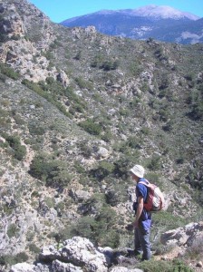 The Kamariano gorge ends on the main Chania road, 2km from Sougia, although the valley leading into it begins far higher, at Mertes (see ‘Explore’, March 2014). A waymarked path (red paint dots) climbs up left (west) from a clearing, then swings north, contouring high above the gorge. (Note that the path south to Sougia, marked on the Anavasi Topo25 map, does not exist.) The path, clear, narrow and scenic, eventually descends to become wider, alongside a fence, through a ‘gate’, and on to a second, where it becomes a track. Just 75m beyond here (at a cairn of stones) we dropped down into the riverbed.
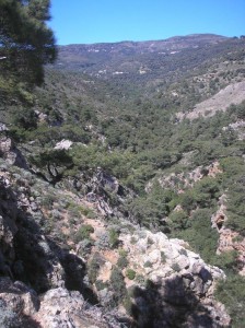
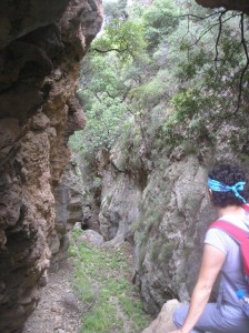
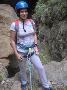
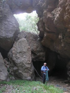
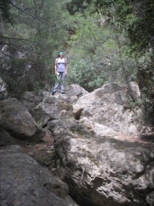 Threading our way between oleanders and gorse, occasionally over boulders, we soon reached the point where things become serious – a ledge with an enormous lodged boulder above, and the valley floor an intimidating and daunting distance below. But first, lunch in the sunshine. Thus fortified, we were soon at the foot of the “mauvais pas”, pulling in the rope used to first lower Laura, then for me to abseil down to ‘terra firma’.
Several obstacles later, requiring hand and footholds but not the rope, we arrived at the scene of last year’s mishap. Fully concentrated, it was all quite simple, and in fact there’s a way around not necessitating a rope, although it’s still not easy. Now all was straightforward, and this time I could relax and enjoy the last half-hour’s walk back to the road – the total tranquility, wild flowers, birdsong, and aromatic scent of the pine trees.
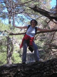 Lightning never strikes twice in the same place, they say, and thankfully not in the Kamariano gorge ; this time we were really able to celebrate our descent in Sougia. Then we could relax & watch the world go by while we wait for the ferry back to Paleochora.


2 comments
Hi bob,
Nice to read your walks sorry to hear about last years mishap hope you are well,have you changed your email address ?? Hope to get out and see you next year
Love June & Tony
Hi June & Tony,
Have missed you both in Paleohora! Come again soon, nothing much has changed here! Same e-mail address.
Bob