
It’s not the best line of poetry ever written, but ….. “Spring has sprung, the grass is ris …”,
and so, with apologies to Alfred Lord Tennyson – “ In the spring, this month’s ‘Explore’, lightly turns to thoughts of a walk from Mahia over to Sarakina.”

Mahia
Allow four hours for this walk from one valley to another, Vlithias to Sarakina, reaching a high pass at 588m and possibly a higher summit at 654m, with en route some of the best views in the area. Catch the 12.00pm bus from Paleochora to Vlithias, 7km north, and take the road marked ‘Mahia 4’, passing through the village and descending gently above the Kakodikianos river and gorge (see ‘Explore’ – Searching for a Waterfall – August 2013.) After the bridge, the road climbs to the settlement of Xeniana, then more easily to reach the (permanently closed it seems) cafenion at Mahia. (By car, you could park here, and make the walk circular, see footnote.)
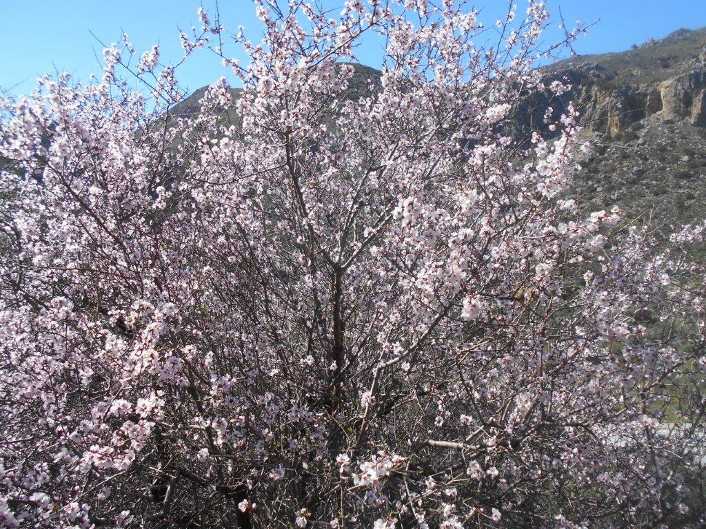
Almond tree in blossom
Just before the cafe, and opposite the track leading down to the beautiful old stone bridge, take the concrete path leading up and out of the village, soon becoming unsurfaced. Ignore two left forks – roads less travelled – and always keep north until at a sharp bend, the track swings to the west, with the pass you’re heading for now high above.
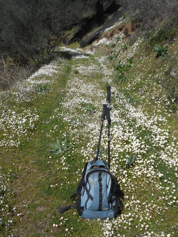
Road not taken
Wild flowers line the way, notably varieties of lupin, daisy and cistus, and the scent of almond blossom is heady. In around an hour, and two hours from leaving the ‘bus, pass through a gate to reach the watershed, and a view down to a different valley, that of the Chondriano, which reaches the sea at Karavopetra beach.
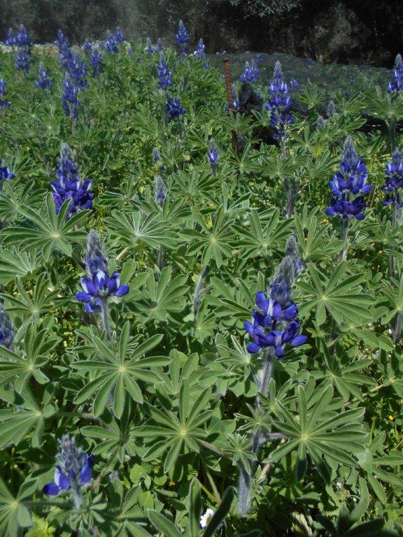
Wild lupins
Follow the track easily downhill, but for the adventurous and sure-footed, there’s a recommended diversion, although it’s on rough rocky ground with no path.
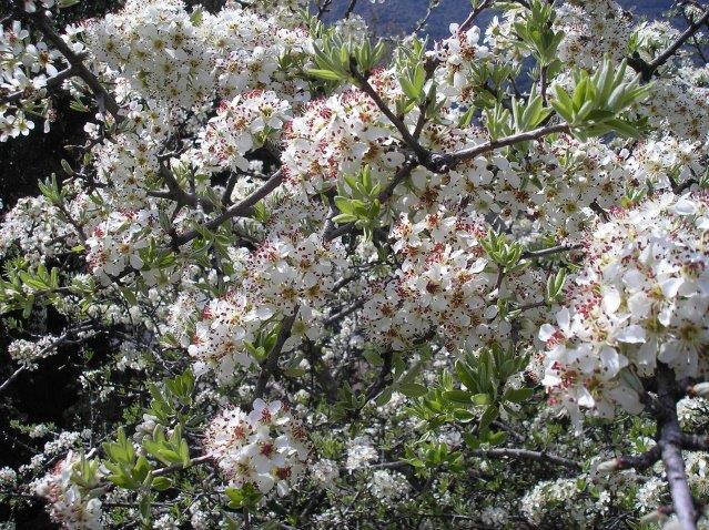
Pear blossom
Leave the track left, and, keeping close to a wire fence, walk along then scramble over rocks to the first of two summits ; the second, higher at 654m (2145 ft) is easier to reach, and gives the best views, especially down the lower Kakodikianos valley to Paleochora, far below. To the west is the distinctive peak of Kastri, 819m, best climbed from Stavros (see ‘Explore’ – Sept 2015).
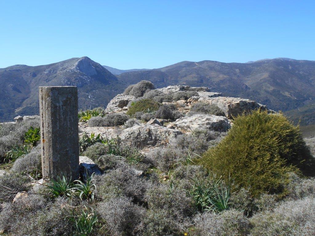
Summit, 654m
Continue down the ridge, then re-join the track at a prominent bend. If you’ve omitted the summits, it’s worth making the 5-minute climb from here to the ridge, the view is spectacular.
Easy walking now, soon with Kefali hamlet below, and Sarakina beyond.
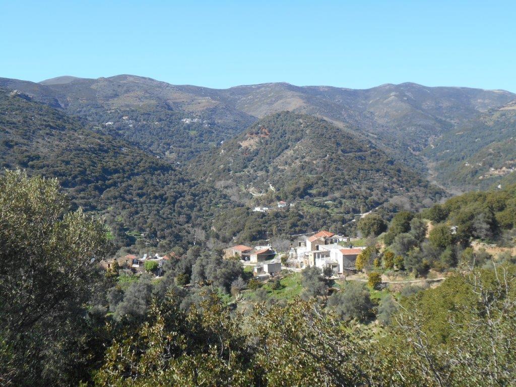
Kefali
Keep right below the second of two stock gates, the track wending into and out of a small valley, through another gate, then reaching little Kefali. After another kilometre, passing the local olive press, join the “main” road, and turn left into Sarakina, and up the steps into the cafenion.
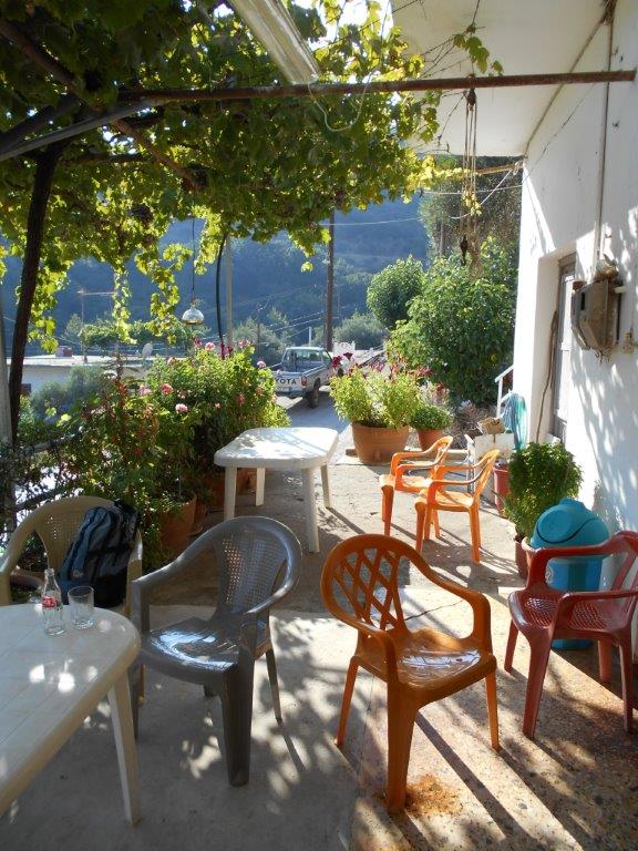
Sarakina cafe
With forethought, you’ll have arranged for a taxi from Paleochora (14 km away) to meet you here (book at Psarakis – 28230-41128 or Sergentanis – 28230-41368) but allow time to relax with a drink after what (in my opinion at least) is one of our finest local walks.
Footnote :
To make this walk circular, take the road north out of Sarakina, through Hondros, and after 4km fork right, then rise a further 2km into Grigoriana. A track out of the village, always uphill, crosses the ridge at 628m, then winds down to meet the road just 500m from your car at Mahia.
This walk is covered by the revised Anavasi 1:30 000 map Crete 11.13, available locally, though incongruously Grigoriana is not marked on an otherwise accurate sheet.

2 comments
Hi there,
Interesting article. Thank you. I have a postcard long ago from my mom that is from Kakothiki Mahia. I google searched and found Kakothiki (or Kakodiki). But can’t find Mahia in Crete. Only in your article it mentions Mahia.
Is that a road or a town in Crete?
Thank you.
Sincerely,
Kathy
Yassou Kathy,
Mahia (often spelt Machia or Maxia) is a small village of just a few houses, north of Paleochora, in the valley below Kakodiki/Kallithea. To get there, you would travel up the main road towards Kandanos, and after 7km turn left, through Vlithias, for another 4km. There was once a cafenio there, but it’s been closed for many years now, and only a few houses are occupied. Mahia used to be connected to Kakodiki by a beautiful arched stone bridge, but this collapsed in January 2018, and I fear will never be rebuilt.
The Explore ! article for May 2017 (find it through Archives) described a 10 km circular walk from Kakodiki which passes through Mahia, and includes some photos of the bridge.