Except for the perennially popular Samaria Gorge, the most walked route in our area is the section of the E4 long-distance path from Sougia through Lissos to Paleochora, distance 16km and taking around 5/6 hours. This can be walked in either direction of course, but East to West makes a “classic” day – after breakfast, taking the 45-minute ferry cruise to Sougia (usually at 8.30am, but check), spending time at Lissos, and after the climb over Akrotiri Flomes, a picnic and swimming at beaches along the coast, before the final walk into Paleochora and a welcome drink at Votsalo cafe.
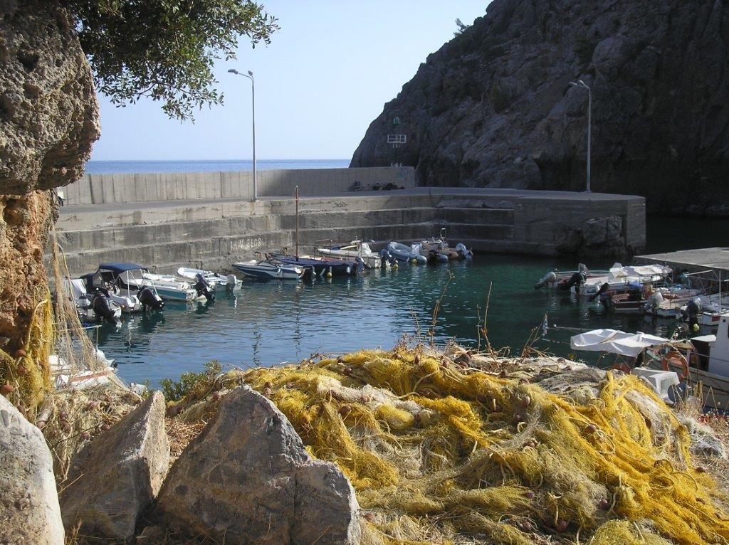
I’ve described the hour’s walk over from Sougia to Lissos before (see Explore! – October 2012), so this time let’s take a ten-minute water taxi from the harbour (with Captain George – mobile 6947605802 or Captain Yiannis 6973220472) and have more time to spare in Lissos.
Just above Lissos beach (beware of tar here, there are better swimming places later) is the church of Panagia, 13th Century, but built utilising much older materials.
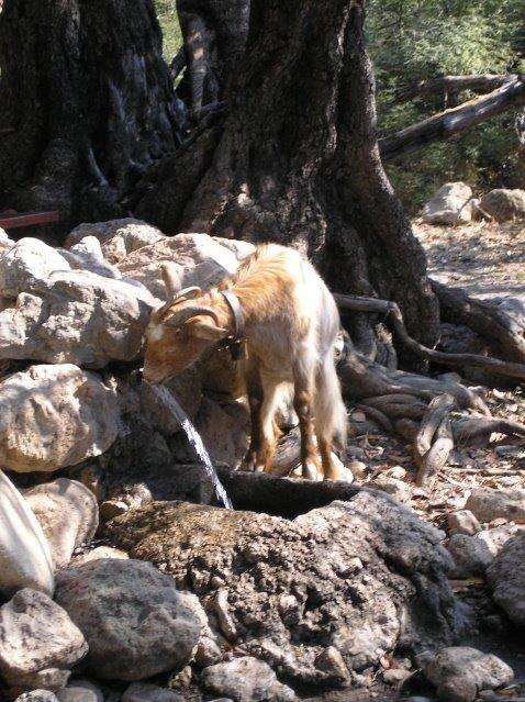
Heading inland, paths lead to a shepherd’s hut, a spring of water and information board, and beyond there the Temple of Asklipios, 3rd century BC, with its famous mosaic floor. Nearby is the church of Ag. Kiriakos.
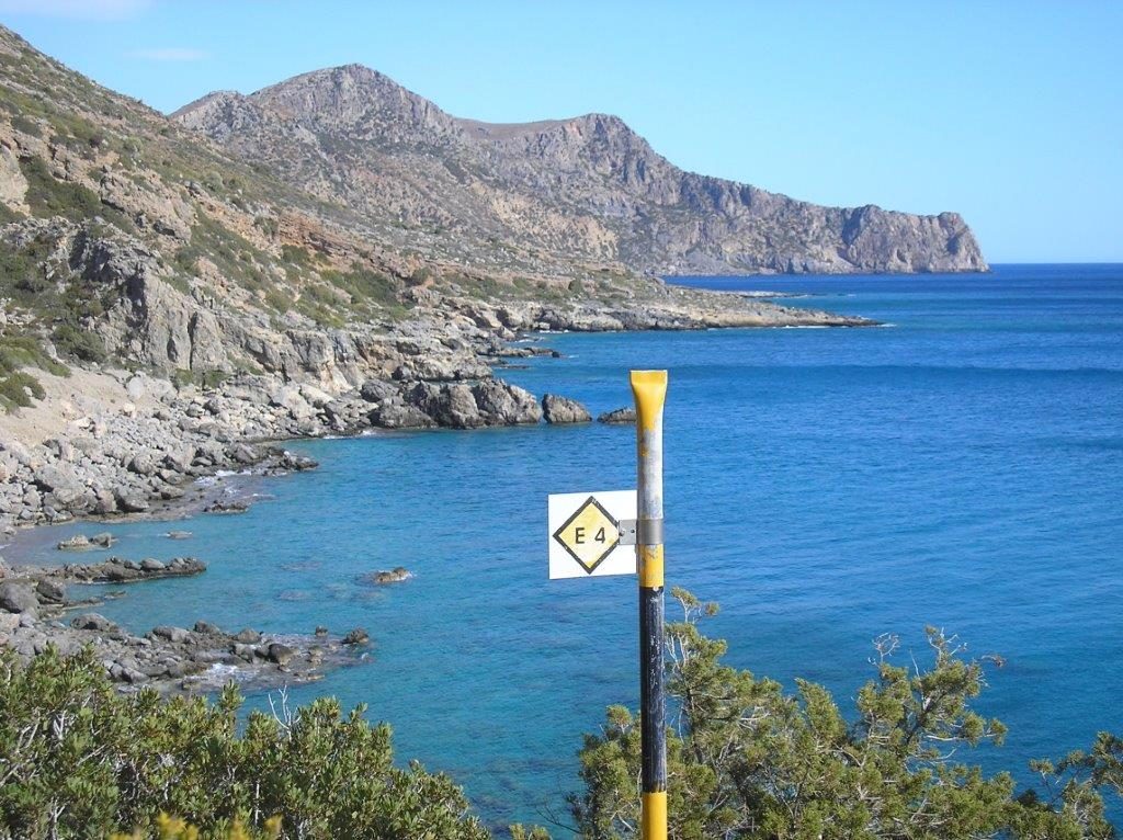
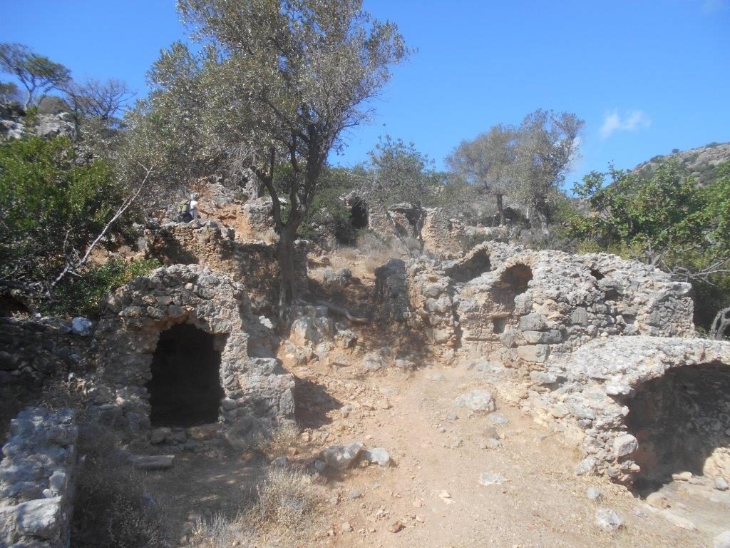
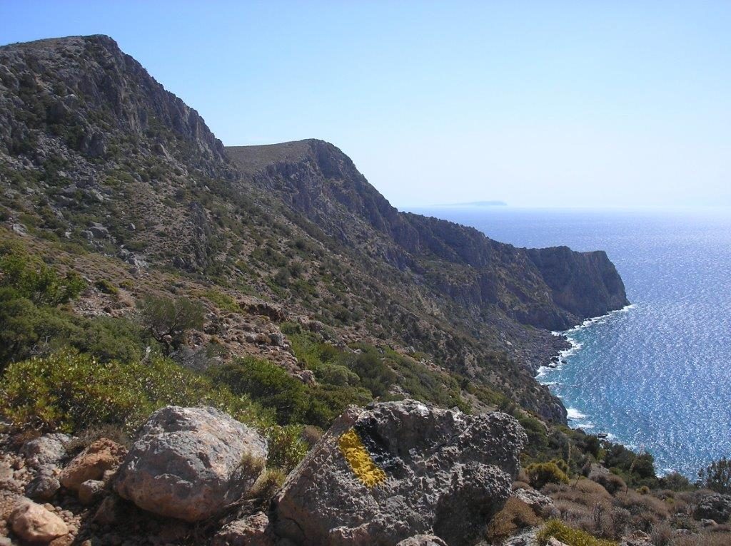
The route towards Paleochora is now well-signed and E4 black/yellow paint-marked, rising west out of the valley ; to the left are the barrel-vaulted roofed tombs of the necropolis, looted long ago.
After a steep ascent, the path reaches a prominent rock ledge above a deep gully – an excellent though unshaded picnic spot. From here enjoy a superb view eastwards along the coastline to Agia Roumeli and beyond, and a last look over Lissos Bay.
Now the path turns inland, crossing the head of the valley, and meanders up through bushes of gorse, broom and spurge to reach the plateau at Koukoula, where there is a cross-tracks. The way to Paleochora lies ahead, with the village of Prodromi some distance away to the north. Follow the track downhill, where there is some shade under carob trees on the right, often occupied by sheep and goats.
Soon the path narrows and begins to descend, with Paleochora now in sight.
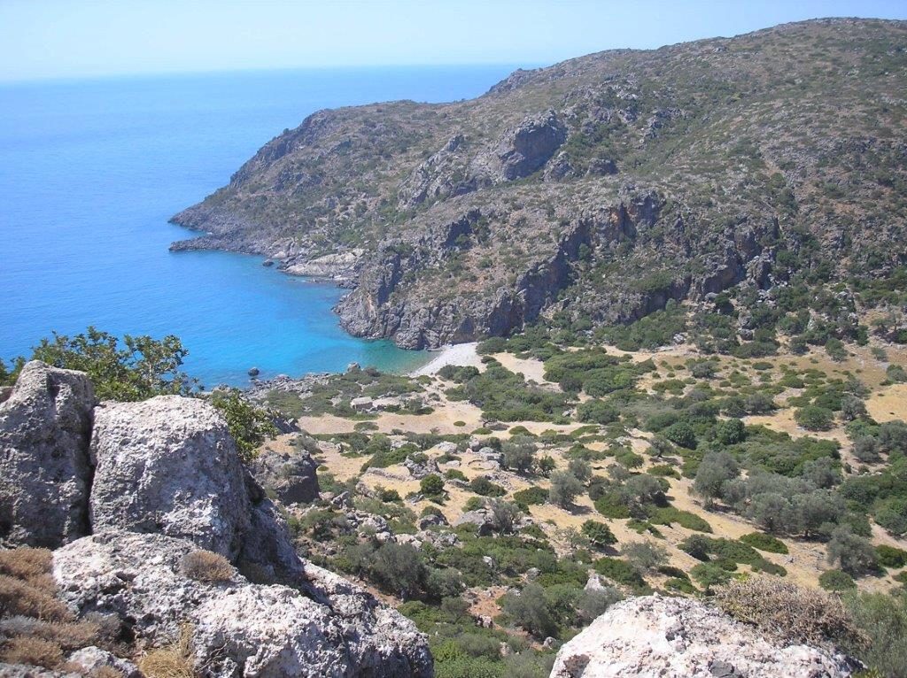
The descent to sea level takes longer than you might imagine (or hope !) with loose stones on the path demanding care and concentration. From halfway down, a small secluded beach will be visible, and you will probably be more than ready for a swim and a rest on reaching it.
From our very early visits here, Lynne and I heard this place referred to locally as “Thunder Cove”, supposedly from the noise of the surf crashing through small caves in rough seas (there’s a small ‘tunnel’ you can swim through, on a calm day.) Its official name, I found recently, is Astropelekita – which is Greek for “thunderbolt” – and stems from a myth that the whitish rocks here were formed after Olympic Gods threw a thunderbolt into the sea. Well I never !
From here – and I still prefer “Thunder Cove” – to the Ianniscari beaches at the foot of Anidri Gorge will take around an hour, with the path always close to the sea, and never more than 40m above it. Two cantinas are here from Easter to October. The track back along the coast, above empty beaches with numerous opportunities for swimming, will eventually, soon after the long Keratides beach, meet the road from Anidri, from where you walk past the camp site into Paleochora, and the end of what is surely the “classic walk” in our area.
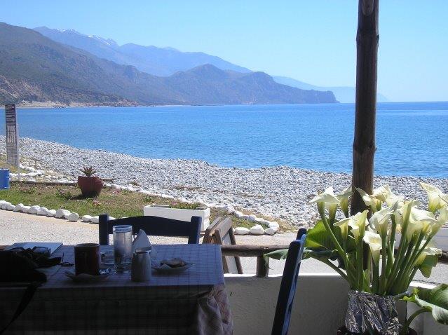
Finally… a cold drink awaits you at Votsalos, as promised at the start of this article.
Footnote
On the recent Trail Race (Feb. 18th) from Sougia to Paleochora, the first runner reached the foot of Anidri Gorge in 1 hr 10 mins, then via the gorge (waymarked specially for the event …) and the masts on Vigles, reached the finish, still in front, an hour later.
More sad news
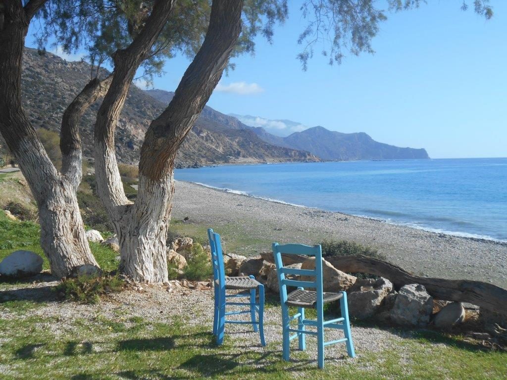
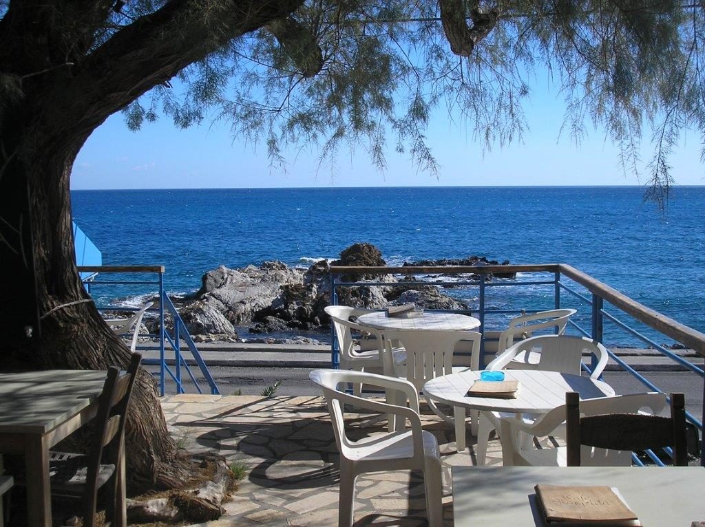
The shady tamarisk tree at Almyrida cafe (which featured in our Christmas Puzzle 2016) was destroyed in a gale in February .
Stelios and Katharina are devastated, as will be many regular visitors to their cafe.




Recent Comments