
During the current Covid restrictions here in Paleochora, our ‘Exercise’ has been limited, officially at least, to 1.5 hours in close proximity to our own homes. So plans to Explore ! around Sougia and Topolia, and certainly above Omalos, have been put on hold until who knows when.
Here’s a suggestion of how to comply with the restrictions, or even when they are over, enjoy an afternoon or evening walk with some history, and certainly the best views over our town.
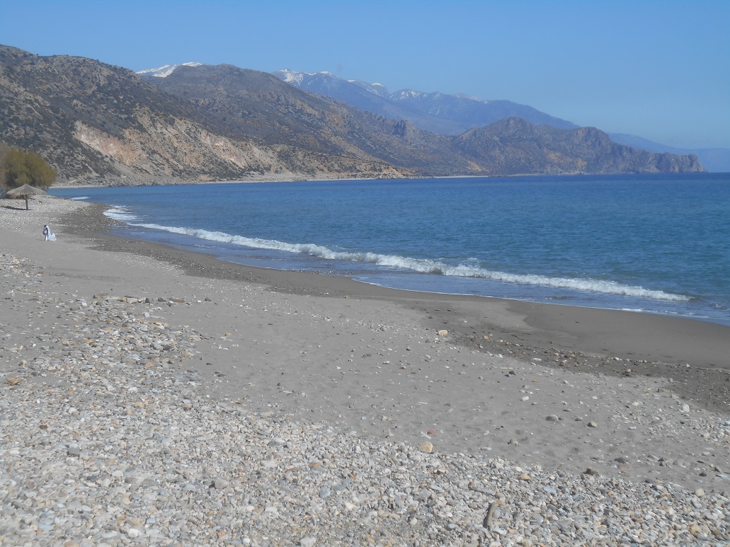
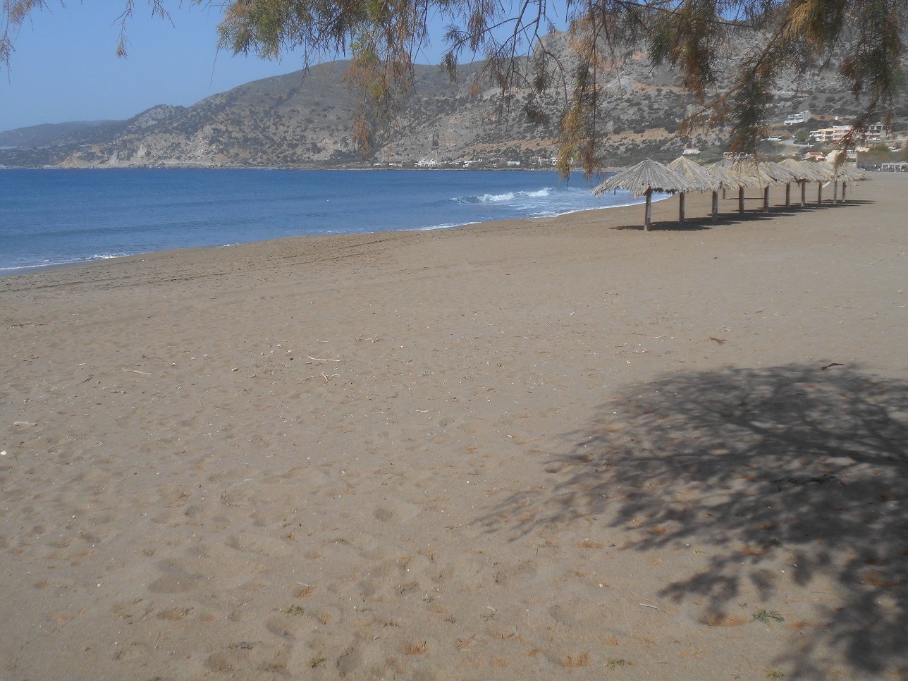
Start from Chalikia beach, currently deserted, with views to snow-covered White Mountains, and walk along the road towards Anidri, past the cemetery, and in less than ten minutes turn left, before the river bridge.
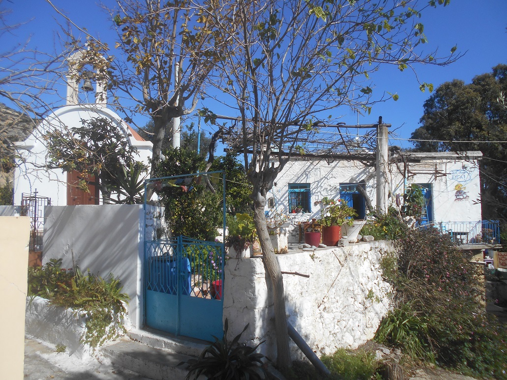
Climb up through Milos, maybe visiting the tiny chapel, to join the main road.
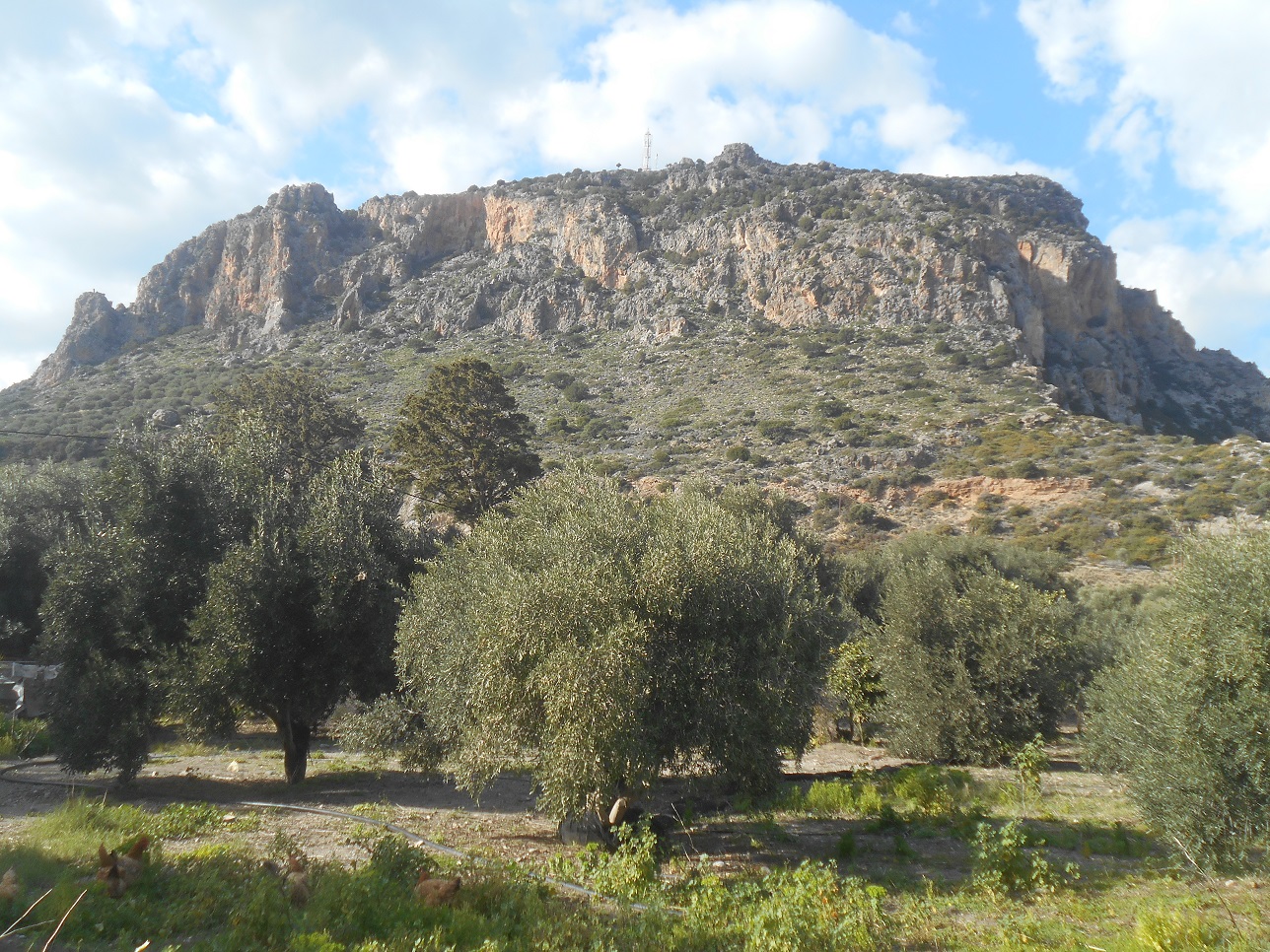
Turn right here, and being very careful around the sharp bend, look for the path leading off left, indicated by orange-painted arrows. This is the route of the Trail Race *, held annually (but probably not this year) from Sougia via Lissos to Paleochora.
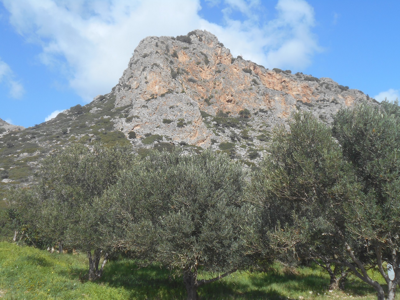
There’s a real “sting in the tail” here, with runners so close to home, and now faced with an ascent of nearly 250m up the South Face of Vigles to the masts on the summit.
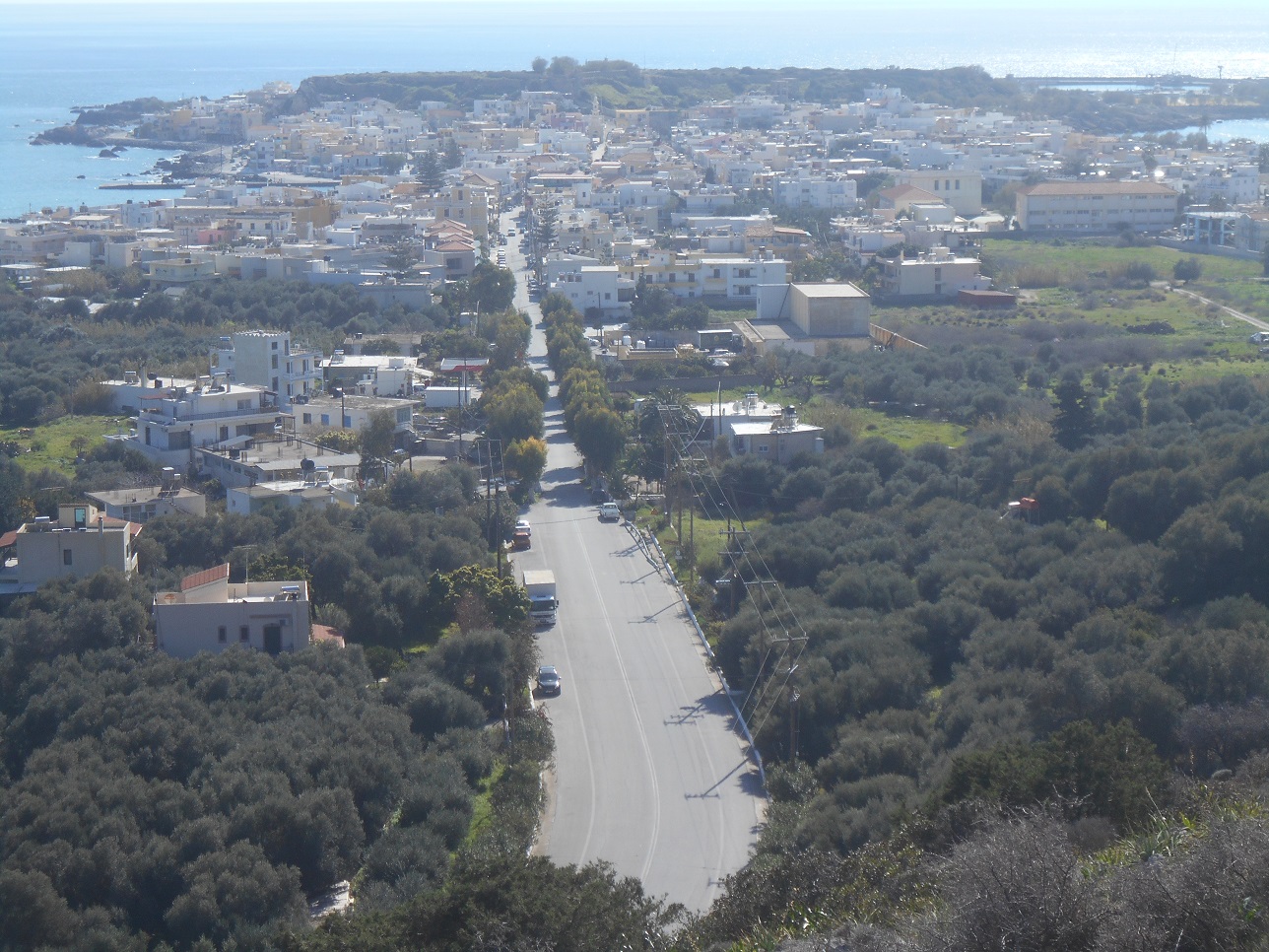
Steep at first, crossing the old water-course, the well-marked trail levels off for a while, high enough to give views over the peninsula and the (empty) road into town.
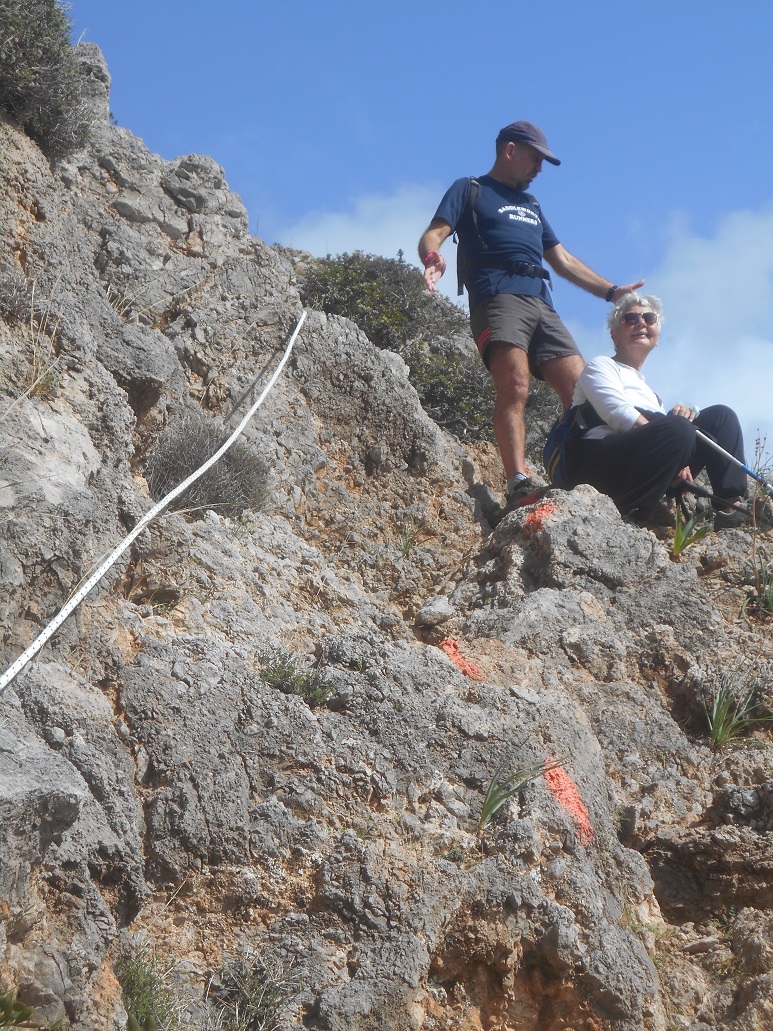
But then it climbs, seemingly almost vertically; en route there are a couple of ‘fixed ropes’, their use not essential, but probably welcome as ‘hand-rails’ approaching the end of a gruelling race.
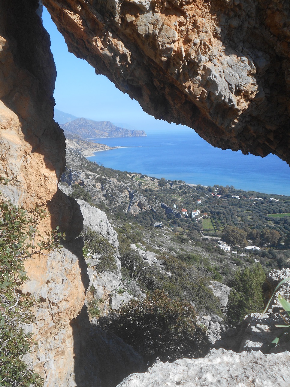
Towards the top there’s an unusual view through a rock-arch, eastwards along the coast to Akrotiri Flomes – Cape Crocodile.
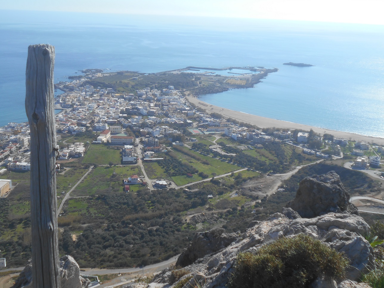
And soon the gradient eases on reaching a ledge, just a few metres below a “summit”, which gives a splendid view over Paleochora.
After enjoying the panorama below, continue more easily along the trail to join the service road. It’s been quite a climb up from the main road, and you’ll be staggered to know that the fastest time from there to this point is 10 mins 17 secs, set by Dimitris Seletis in the 2020 race. Even in my long-gone marathon/mountain running days, I would have got nowhere near that ! (My PB, including stops for water and photographs, is thirty minutes ….)
The (lower) masts, at 245m, are just a short step away, though the views from there are no better; following the track north, and descending slightly, the landscape is different, inland over the valley of the Kakodikiano River towards Kantanos, and there – distant and far below – is my house.
Unless you want to climb to the higher masts, at 351m (from where there is a waymarked pathover to Vasilaki), fork left, and follow the track as it winds down to reach the Panorama estate.
The Trail Race drops through here directly into town, but better to keep on the road (from Voutas) to its junction with the coast road. From here, cut down to the west end of Pachia Ammos, our ‘sandy beach’ currently devoid of sunbeds, parasols …. sans everything …. visitors especially.
And from the beach, look up to where you were, maybe an hour ago, and reflect on a moment of history…
“ In October 1944 a rumour circulated that the Germans would be drawn out of Paleochora; many inhabitants climbed the mountain to the north of their town called ‘Wigles’. The sight they saw was both shocking and haunting. Many homes had been destroyed, shops and store houses had been set on fire, ammunition was being exploded. The Germans left hardly anything behind. Germany had lost the war and Paleochora was liberated.”
From : Paleochora (A Look Back into the Past) Nicolaos Pyrovolakis
And so, after walking the length of the beach, cut across to the harbour at Skala, and along the promenade, where hopefully before too long, our sea-front cafes, tavernas and restaurants will all be open again.
- The route measures 21.5 km, with ascent of 1133m, and the current record, incredibly, is 1 hour 55 minutes.

4 comments
Skip to comment form
Hi Bob
Lynn & Thomas here, it’s been a long time & it’s great to catch up. Interesting walk, who knows, maybe one day we’ll be back for a holiday
Bob. We eagerly await the accounts of your adventures every month; the photos and text bring it all to life most vividly. Thank you so very much. We have been visiting Paleochora every year since 2001, our last visit being in 2019. We had to cancel last year due to Covid ( along with so many others) and have tentatively booked for June/ July this year but it all depends on the powers that be. Meanwhile, your monthly accounts lift our spirits. (We had the pleasure of meeting you, very briefly, at a PAWS flea market in the town in June 2019 and spoke about our magical time swimming off Domata Beach. The following month was the report of your kayaking trip, The Kladou Gorge and your visit to Domata – our memories flooded back!).
We send best wishes, stay safe and well. Thanks once again.
Rosemary & David Turner
I do hope you can revisit Paleochora again this summer, and Lynn and Thomas, I can show you some of the many paths discovered since you were here, and maybe have a picnic, and light a fire, on a deserted beach.
Great write up as always, though looks like I am trying to keep Michelle’s head on 😉