
We’ve been to the mountain village of Koustoyerako before on our Explore ! adventures, from Agios Theodoros via Agia Ekaterini chapel (ref. Archives July 2014), from Omalos via Linoseli and Achlada (November 2017) and a third time from the village to descend the Keratidias Gorge to the coast, and along the E4 path to Sougia (February 2017). All three are serious expeditions, but here’s an easier walk up to Koustoyerako, descending to Livadas on a little-used path, and passing several small churches in an area steeped in history.
Start from the foot of the Agia Irini Gorge, 5km north of Sougia (parking space below the Oasis taverna.) Without a car, there are taxis and an occasional mini-bus service from Sougia.
The walk is circular, around 7km, with no difficulties except a steady climb of 400m into Koustoyerako ; allow three hours (walking time) although with so much to see, it could fill almost a full day, especially if the village cafe is open.
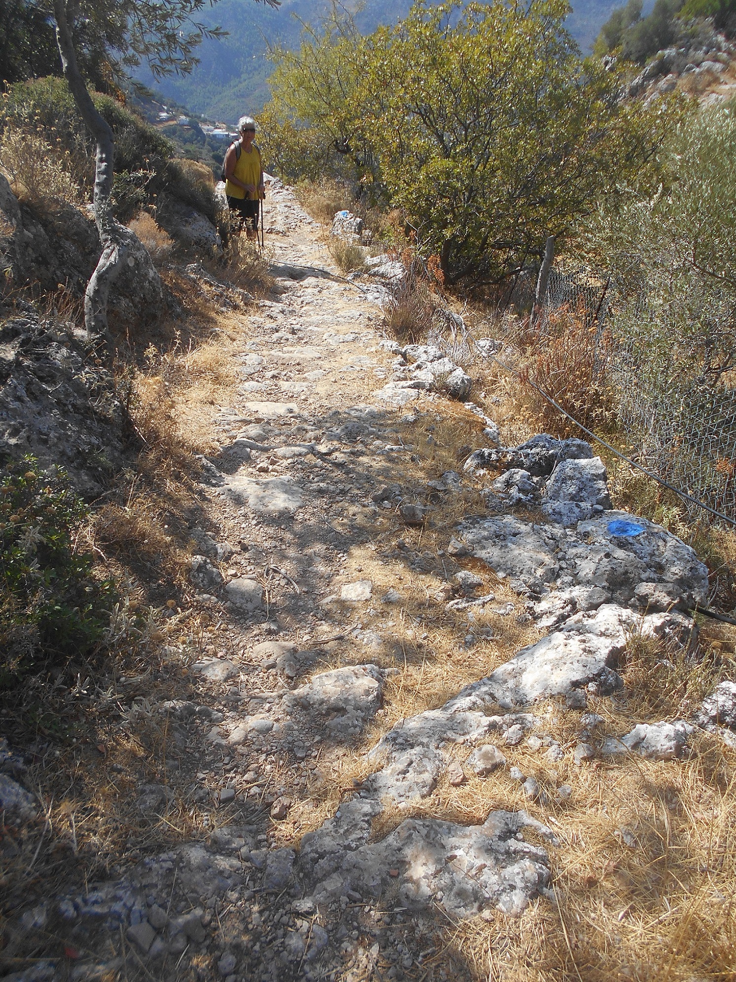
From the gorge exit, and the cafe entrance, follow the track as it winds upwards ; there are several side turnings, but always keep to the main ‘road’, looking for tyre marks and occasional concrete sections (the current Anavasi map may help.) Views unfold as you climb higher, across to the gorge descending from Prines (difficult, ropes required), and the popular Agia Irini Gorge.
Eventually, on reaching a 4-way “cross-tracks”, take the one rising SE, which, still climbing steadily, will bring you into Koustoyerako.
But first, before reaching the ‘platea’, turn left (east) for just 200m to the Koutsounaria spring of clear cold water, the water source for the village. Steps above lead to the delightful small church of Agia Marina, and from hereabouts, the best views over the small village.

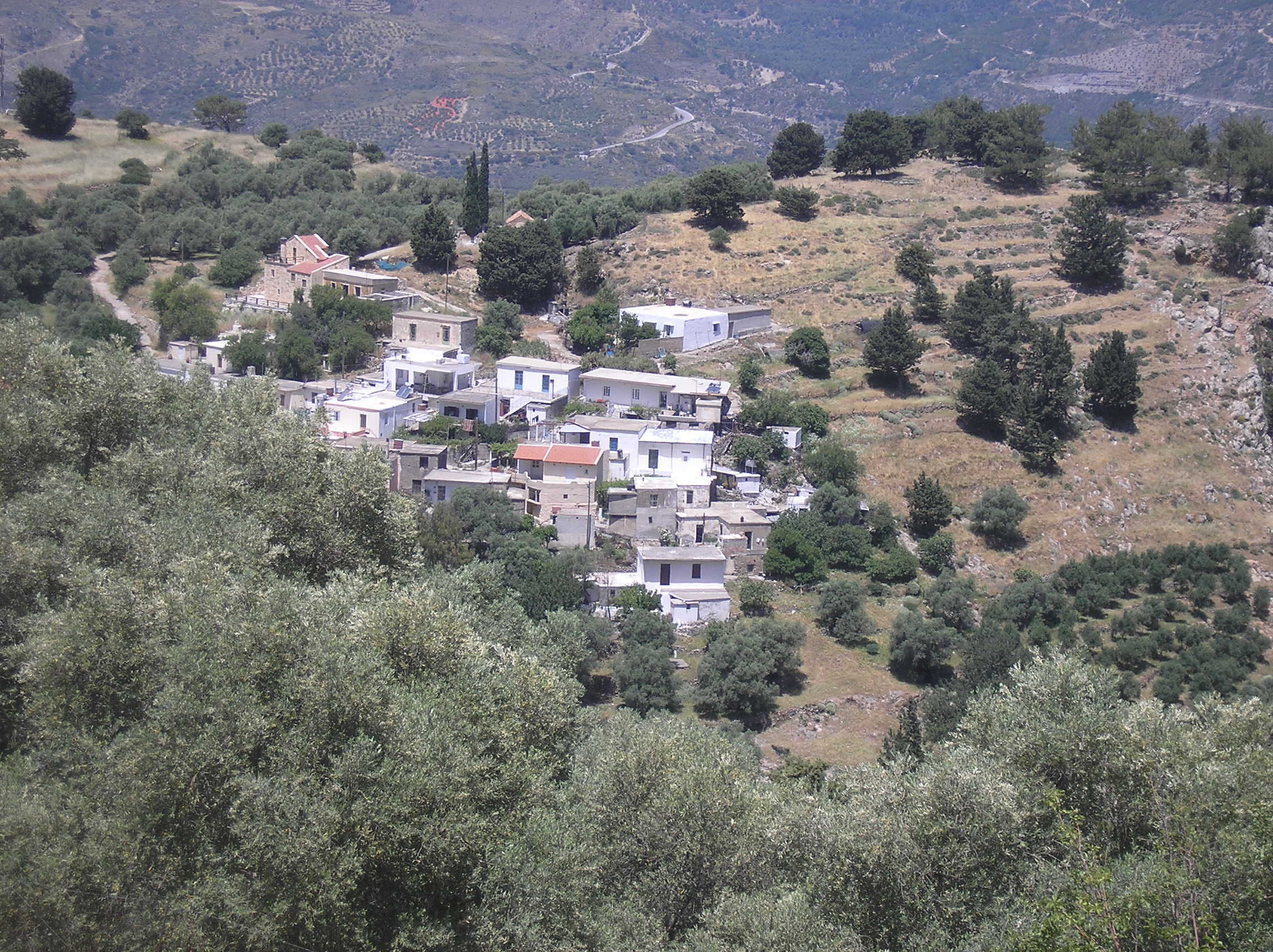
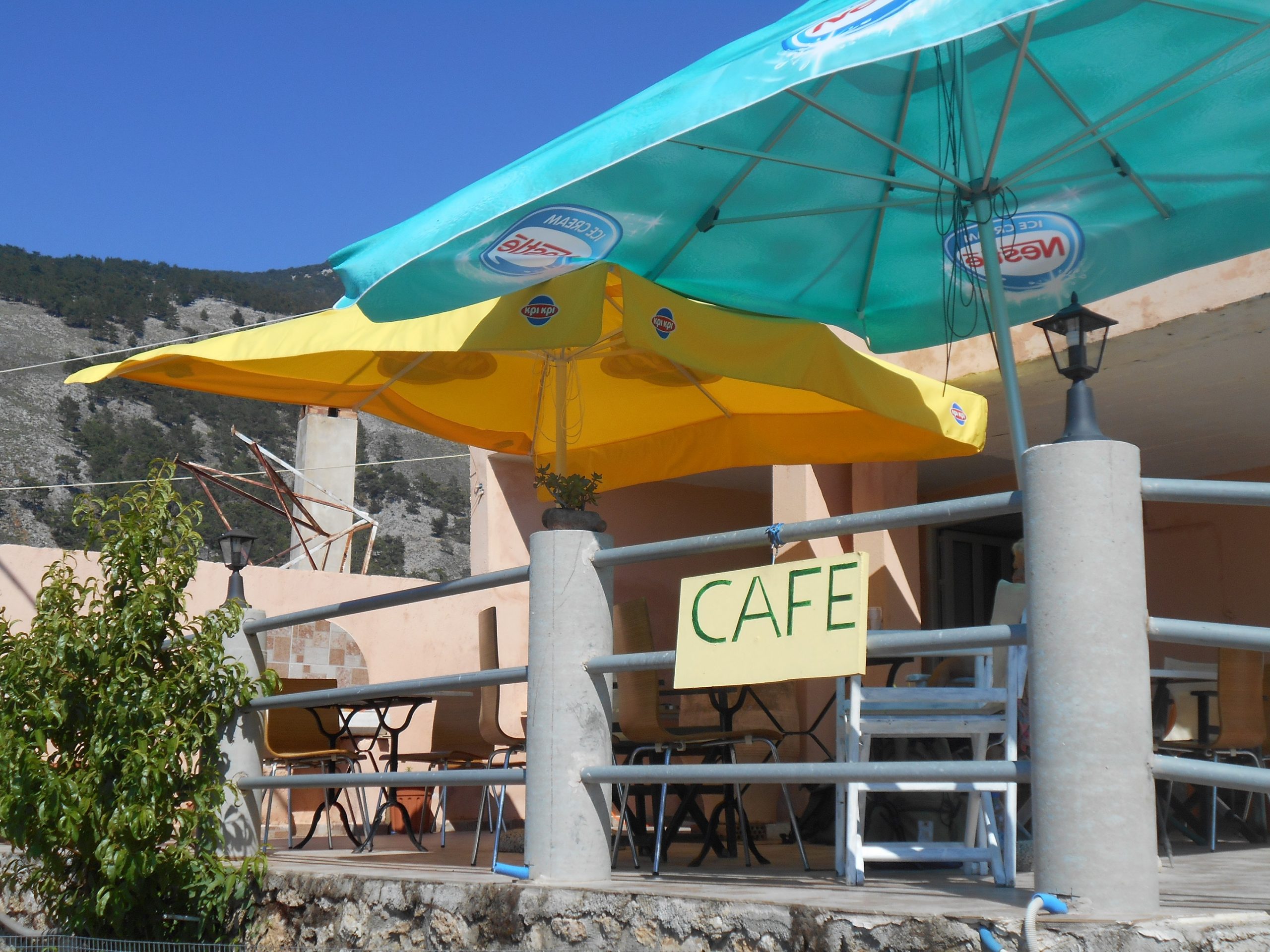
Then to the cafe, hopefully open, where Maria and Iannis offer refreshments, simple snacks, and a panorama view from their terrace.
The platea is looked down on from the formidable statue of Giorgos Kandanoleon, leader of a doomed and unsuccessful revolt against the Venetian occupation in 1527, which resulted in the destruction of the village. Later uprisings against the tyrannical Turkish rule brought further destruction of the village, notably in 1821. But the most dramatic events in the history of Koustoyerako came in the autumn of 1943 during the Nazi occupation of Crete …

Following a drop of arms/ammunition by Allied planes at Achlada, high above Koustoyerako, German troops, on the 25th September 1943, entered the village, which the men had deserted, and rounded up all the women and children in the village square.
“ They lined them all up, and, as they refused to speak, prepared to execute the lot.
But, before they could press the trigger of their heavy machine-gun, ten Germans fell
dead. For some of the village men – about ten – had taken up position along the top of a
sheer cliff above the village, from where they could watch every detail, and, at just the
right moment, had opened fire. Not a bullet went wide. Terrified, the Germans took to
their heels …..” George Psychoundakis “The Cretan Runner”
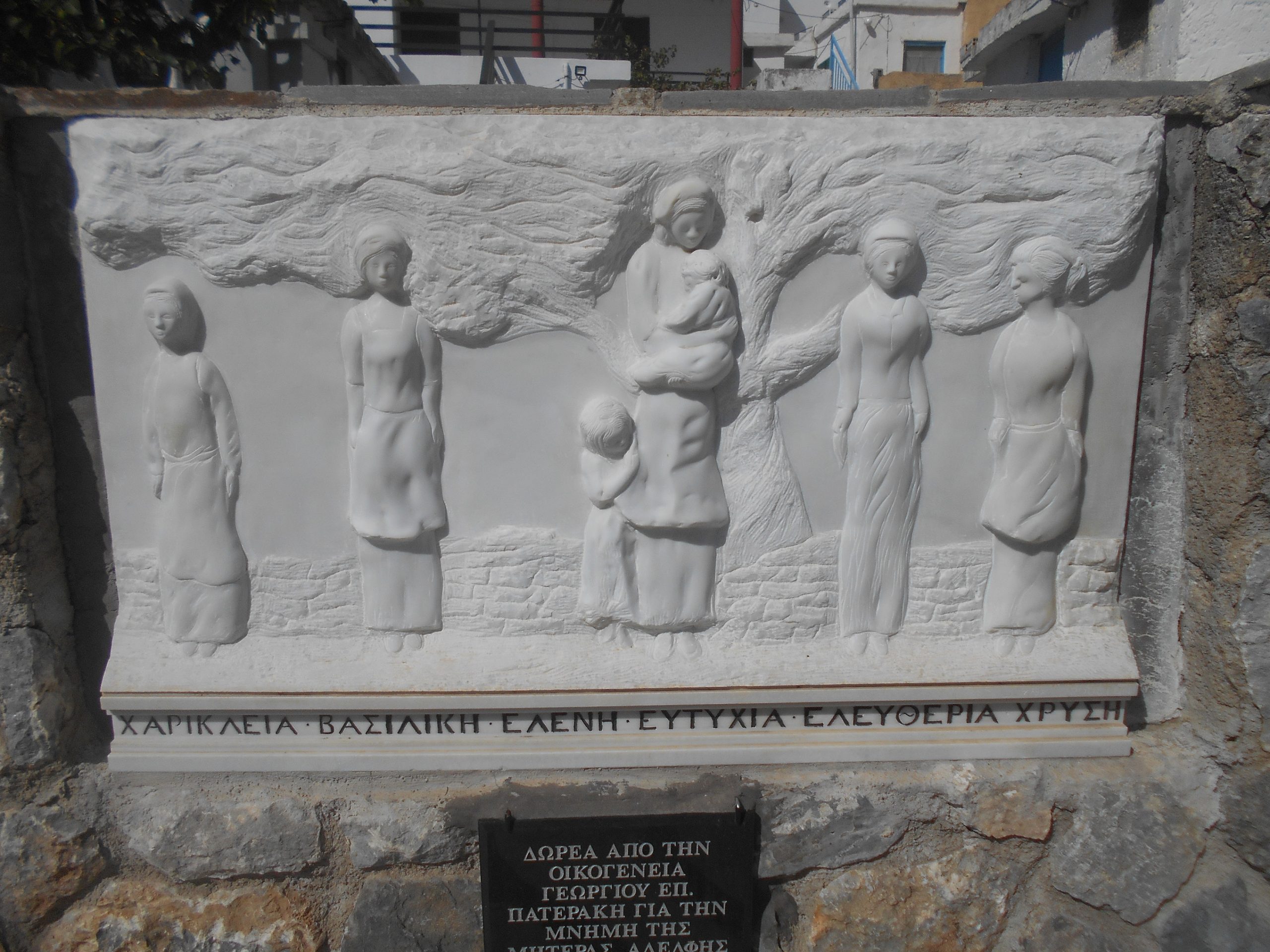
Retribution was swift and brutal. In the following week many village men – and women – were executed, houses ransacked and burned, and Koustoyerako was once again destroyed, along with the nearby villages of Livadas and Moni.
From the platea, overlooked by Ochra Crag, from where the famous shots were fired, walk out along the main road. There are several memorials here, the most poignant a plaque to local heroines executed by German firing squad ….
The village church of Agios Giorgos, 15th century or earlier, with good remaining frescoes, is a short climb, whilst a short distance further is the impressive roadside monument to the three villages, Koustoyerako, Livadas and Moni, a forever memorial to those dark days.
Returning to the village centre, take the path to Livadas which begins from the SW corner of the platea (ask at the cafe if unsure.) An ancient ‘kalderimi’ linking the two villages, there are still cobbled sections at the start and near the end, worn smooth by centuries of laden mules and donkeys.
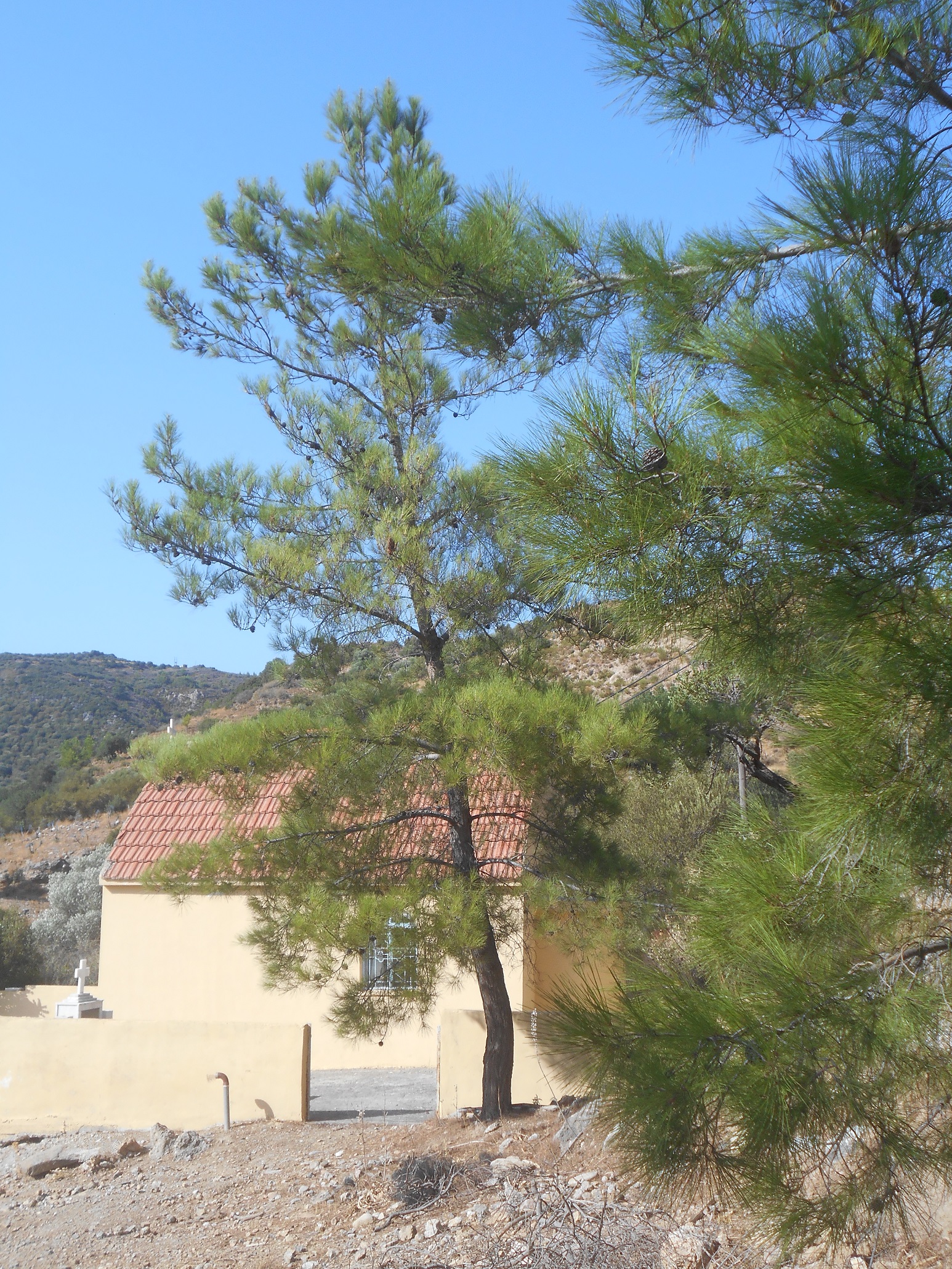
Half an hour of careful walking leads to the surfaced road, then turn left into Livadas and the church of Agii Pantes. There is ice-cold water here, and a picturesque campanile.

Just 60m beyond Ag. Pantes, turn right down a track (below the church) which descends gradually, leading in 1.5 km to the modern church of Agios Ioannis, and the road from Sougia.
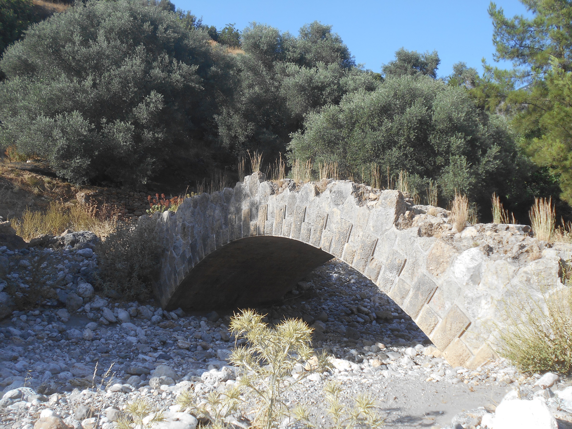
Walk across to see a stone (Venetian) bridge over the riverbed, and in less than ten minutes return to the Oasis taverna.
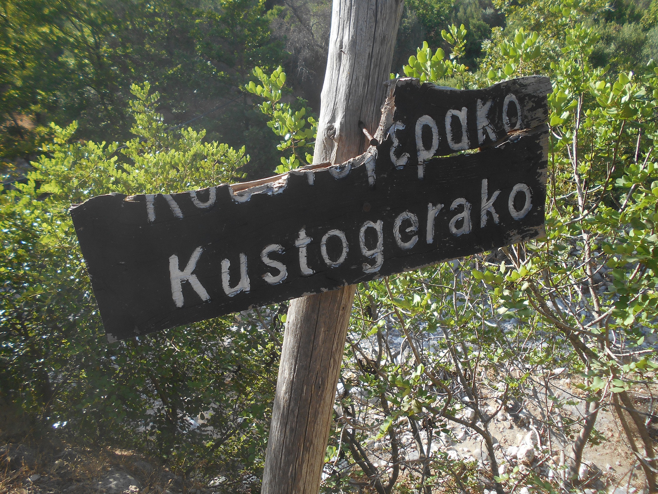
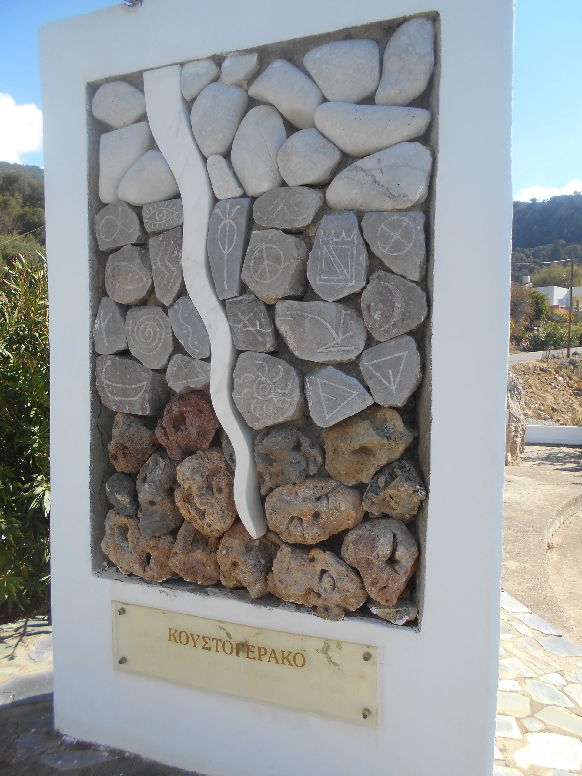
Koustoyerako is situated at alt. 510 m on the western fringe of the Levka Ori, 73 km from Chania, 11 km from Sougia and 33 km from Paleochora. It was once (c.1400 AD) known as
“ Hristou Geraki ”, meaning the Hawk of Christ. In legend, a large bird of prey hovered over the village, with the sun high above casting a shadow of its head, tail, and wings into the form of a giant cross. This was taken as a propitious sign, and the village was so named. Thanks once again to Eftichis (Lucky) from the Alfa cafe in Azogires, whose great-grandmother was from Koustoyerako, and who witnessed some of the events, and atrocities, which took place there.

4 comments
Skip to comment form
Hello from Norway!
Reading your travelling stories, alywas gives us « a boost» to visit Paleochora on holiday – maybye next year.
You recomand a map; The Anavasi map. Where do we buy that map?
Looking forward to more stories and a holiday on Crete.
Greatings from Liv Nanna Holtet and Stig Evensen
The Anavasi Maps – and the large-scale 1: 30.00 maps are excellent – are on sale here in Paleochora at To Delfini bookshop, and both in Chania and Athens airport. And possibly online too at the Anavasi e-shop : http://www.anavasi.gr
I was up at Agios Diktheos last sunday about 1200m. A pair of hawks circled above me casing a huge shadow on the ground in front of me.It was a day i think that i will remember for the rest of my life.
Regarding the maps indeed the Anavasi HIKING editions are excellent.They are also available to download to an android phone.I carry both.The app has a really useful feature in that it will centre your location without internet connection and display it on the (anavasi) downloaded map.I have used it many times when “off route”
Lastly don,t buy the anavasi 1-100.000 road maps.They are overcoloured,badly designed and hard to read.The “terrain editions” maps at 100,000 are far better and then supplement those with the anavasi hiking maps.