
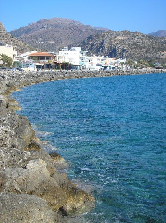
If you sit with a morning coffee or early evening aperitif at the ‘Skala’, alongside Paleochora’s harbour (and where better?), then you can pick out, if you look in the right direction, the ‘Turkish Fort’ high on the ridge separating Spaniakos and Azogires. It’s almost due north, and stands out clearly in the morning sunlight.
Our book ‘Ten Walks around Paleohora’ (out of print, but due to be revised and available next spring) describes a route to the fort from Spaniakos, but this is now overgrown and difficult to follow, so it seems better at present to make the climb from Azogires. A few words of advice ; don’t set out to walk by road to Azogires. It’s 8km, practically all uphill, with no water or shade en route, and will take the best part of two hours. If you can’t drive there, or arrange a lift, take a taxi. Coming back is easier, at least downhill, with a good chance of ‘hitching’ a ride.
Take the road west out of the village centre, which climbs to the Cave of the 99 Saints, and is clearly signed. After several bends, pass the recently built (and rather uninteresting) church of St John the Russian, and continue uphill to where the road finally bends right towards the cave (the descent of which is described in ‘Explore’ July 2010). Leave the road (left) at this bend, passing through two wooden gates then along a track contouring around the hillside. This becomes rougher, ending after 1km . Then slant right for just a few metres to a “gate” in the wire fence (look for yellow waymarking to assist you). A faint footpath follows the fence, climbing gradually, until the fort – pirghos – comes into view.

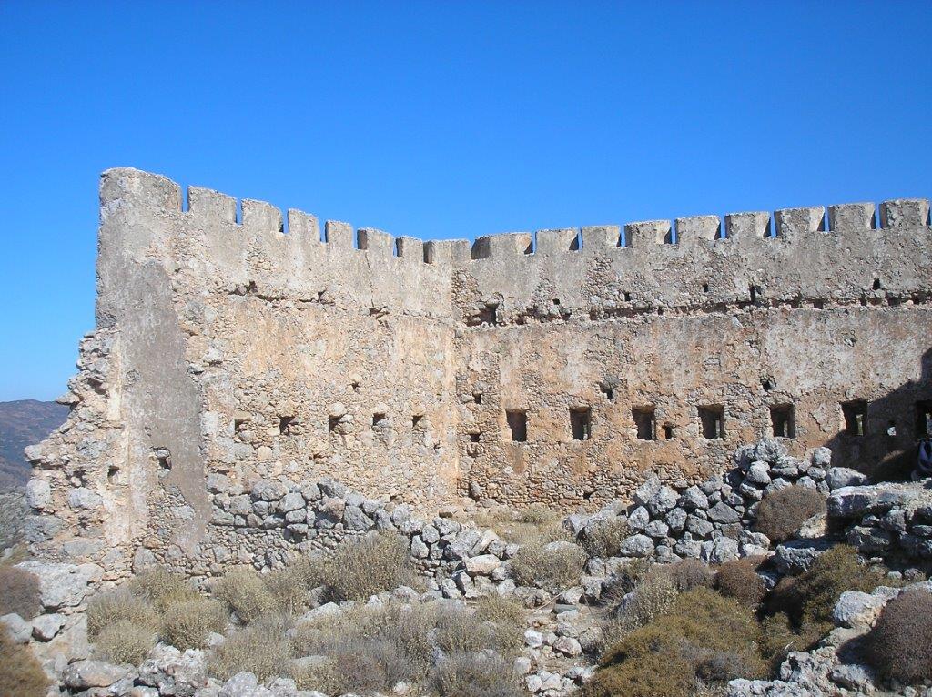
Cross rough ground, with a final climb to reach the fort at its NE corner (look for the remains of a well on the way up.) A ‘gate’ in the fence gives access to the fort’s west and south sides, from where there are views down to Paleochora … and to the Skala. The coastline stretches along to Akrotiri Krios, and inland are the hills above Voutas and Sklavopoula. The peaks of Psilafi, Gingilos and Volakias in the White Mountains are visible, while far out to sea you might see the island of Gavdos.
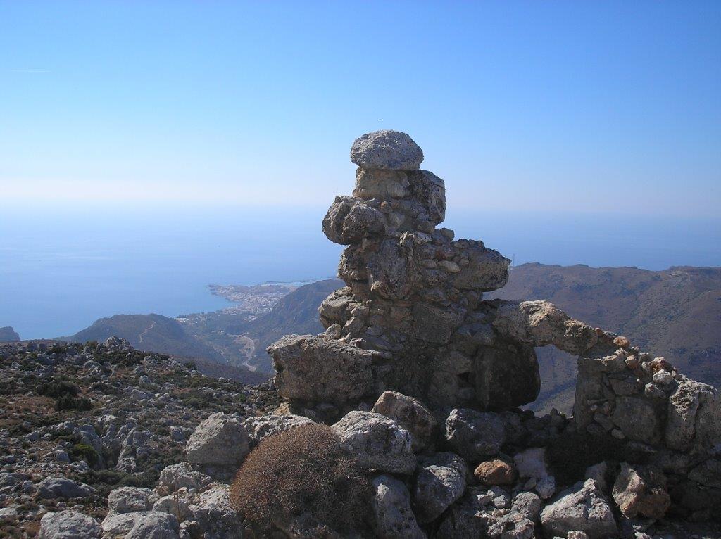
The Turkish occupation of Crete lasted from 1645 – 1913. Given the suffering and oppression endured by the Cretan people for these long years, it’s understandable that the fort has not been preserved or maintained in any way. Other towers in nearby villages have been completely destroyed. With a little imagination, you can picture how the fort once looked, as you explore the ruins.
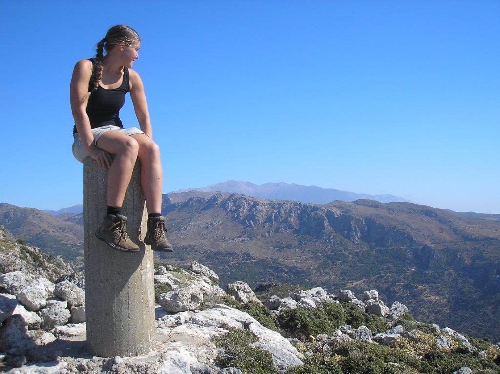
To explore further, climb a little way NE above the fort to locate a hollow area, with a well in its
centre, where undoubtedly cereal and other crops were grown. Higher still is a concrete (surveying) pillar from where the views are even more extensive, but north beyond here lies difficult and rocky terrain, so venture no farther.
The return to Azogires is by the same route, maybe with a visit to the cave. A warm welcome will await you in the Alfa cafe, where ‘Lucky’ will tell you more about the fort’s history. Also in the cafenion are copies of Julie Bradfield’s two delightful books, “The Adventures of Lucky” and the recently published “More Adventures of Lucky”, which will be thoroughly enjoyed by all who know the Azogires area, and by children (of all ages.)

[important]
Don’t Forget: The Explore book is on sale.. Click on the cover to order….

[/important]

Recent Comments