
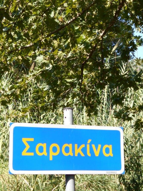
A somewhat ambiguous title, as Sarakina itself is barely a village (its population just 25 in the 2011 Census), and Stavros, Kefali and Deliana are all considerably smaller. The 12 km drive north from Paleochora to Sarakina (by car or taxi, no bus service) is delightful ; the river alongside the road flows down the valley all-year-round, below Kondokinigi and Tsaliana, and reaches the sea at Karavopetra beach.
The first thing to do, as you enter the village, is stop and visit the little Byzantine church of Archangel Michael, dating from the 13th century. If it’s not open, the key is easily located. From the church, lift up your eyes to the summit of Kastri, 820m, and almost Matterhorn-like from this angle, seemingly unattainable but easily climbed from Stavros, described below.
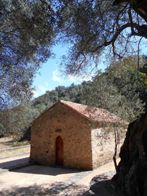
Arch. Michael
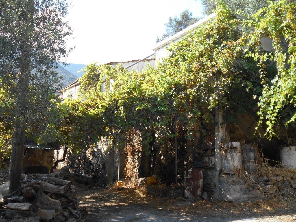
Park a little further on, and decide which of three walks to tackle first, or alternatively walk up to the village cafenion for coffee.
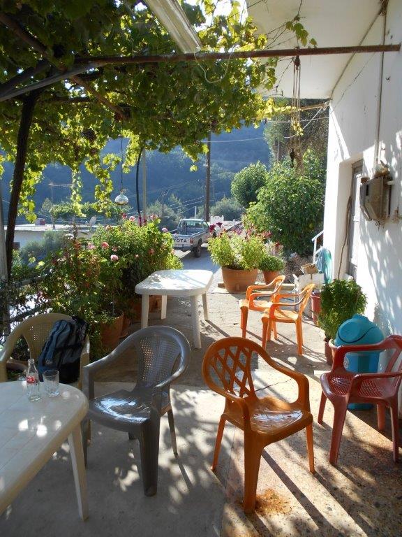
Sarakina cafe
The shortest is to Kefali, just 1 km each way, so let’s go there first, and save the longest, to Stavros, for last. Continue out of Sarakina, and take the road right, over a stream, on past the olive press and below shady olive groves into the few houses, some now derelict, of Kefali. The road ahead, later a track, climbs to over 600m and would take you to Mahia, best left for another day, so retrace your steps back to Sarakina.
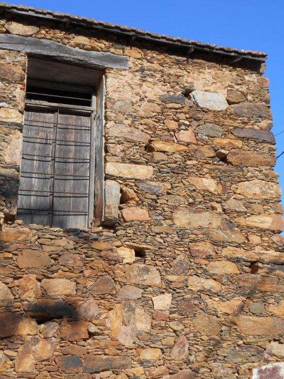
Kefali wall
Deliana is 2 km north-west of Sarakina, along a rising, surfaced road, from where, one late August evening, I picked almonds, figs and pears from trees seemingly abandoned. So too appears Deliana, where the road ends. Wander around, and visit the church of Ag. Kyriaki, which has some surprising artefacts, before returning to Sarakina.
Deliana
The 3km walk up to Stavros, combined with an ascent of Kastri (meaning “fortress” or “castle”)
could make a day in itself. The surfaced road, signed from just south of Sarakina, climbs, twists and turns, passing the former village school, the views widening with ascent gained, before ending in a small ‘platea’ with a nearby church (Ag. Konstantinou & Eleni), water if you need it, and some fierce-sounding dogs.
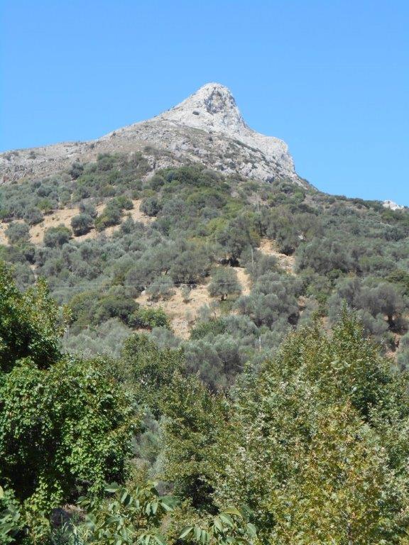
Kastri Mt
To continue, follow the track out of Stavros, always uphill, before forking left, steadily up to reach a ‘col’, with a tiny white shrine. The climb to Kastri will take around 30 minutes, rather less to descend, although it seems steeper. There’s no path, easiest way is to keep to rocky ground directly ahead, then swinging left to the summit, 820m, marked by a surveying pillar.
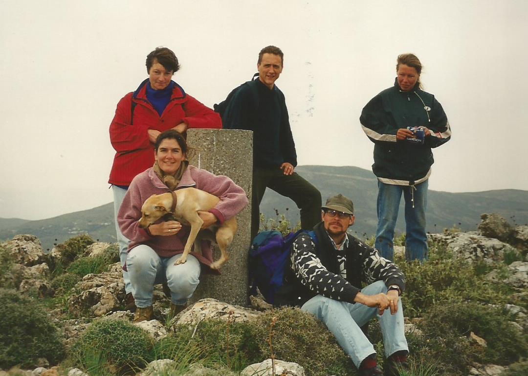
At the top! Try & guess the year!
The 360-degree panorama is, in my opinion at least, the best in this area. Spread a map out, and identify many landmarks in SW Crete – Gavdos island, the White Mountain fringes, many “Explore” locations such as Sklavopoula, Agias Zinas, Yrtakina, Spina Gorge, Kandanos, the Turkish fort above Spaniakos, and the masts above Paleochora.
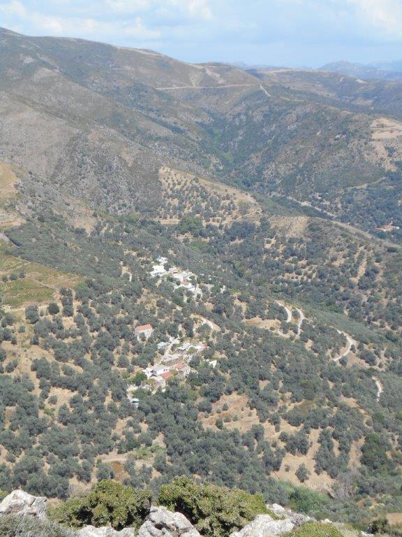
Stavros from Kastri
And closer, far below you, are Stavros, larger than it appears, Deliana, Kefali, and of course Sarakina, where in an hour or so’s time, you could be relaxing in the shady cafe with cold refreshing drinks, reflecting on the climb.
To complete a “nap hand” of walks from Sarakina, you could also visit Platanos and Perivola, both just a short distance away.

Recent Comments