After several relatively easy ‘Explore!’ walks this summer, the time has come (the walrus said) to talk of harder things. The walk from Rodovani to Sougia, though only around five hours, requires a good fitness level, mountain walking experience, route finding skills, and sure-footedness on a steep and stony descent, and should not be attempted on any other than a clear day with good visibility.
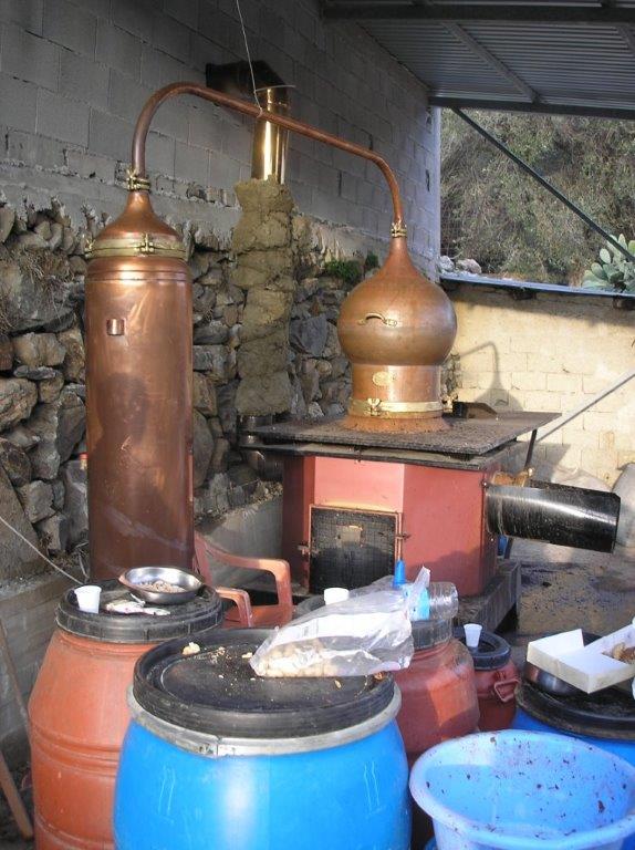
First you have to get to Rodovani, 23km from Paleohora, on the early morning (Omalos) bus, or by car or taxi. Alternatively, Rodovani is 10km from Sougia on the road to Chania. We arrived there recently by driving (an hour) to Sougia, then taking the midday bus (Sundays only) back up to the village. Rodovani, high above the Kamaria valley (see ‘Explore’ April 2011) is an intriguing village which has seen better times. Seemingly almost deserted, there are several basic ‘cafeneons’, and a couple of even more basic mini-markets, but the bakery, post office, health centre and ‘periptero’ have all closed in recent years. The centre of a wine producing area – Maza wine especially has a high reputation – it also distils a fierce local ‘raki’ during the late autumn months at a still on the main street. Water in the platea spring is the last until Sougia.
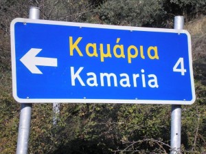
Leave Rodovani west on the road to Maza, passing the ‘raki’ still (be careful, if production is in progress …) and take the road left, signed ‘Kamaria 4’. Follow this pleasantly towards the valley until the first houses are reached, then turn right, and soon left – both signed to ‘Ay. Panagia’. The road now becomes a track, crossing the usually dry riverbed, and heading east on the south side of what will later become the Kamariano Gorge. The latest edition (2011) of the Anavasi map to Samaria/Sougia (Topo25 11.13) shows a footpath leaving the valley and climbing steeply south. Finding the start of it can be a problem ! An hour at most from Rodovani, look out for a small cairn below the pine trees just above the track, and should you reach the church of Ay. Panagia, turn back approx. 100m and search again.
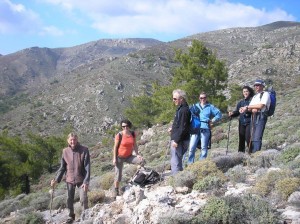
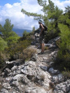
The path, an old mule trail between Kamaria and Prodromi, is as attractive as any in SW Crete, a real “hidden gem”, and although not waymarked, once actually on the path upwards it’s not difficult to follow. Climbing steadily, views unfold over the deep-cut Agia Irini Gorge (‘Explore’ May 2010) to the White Mountains summits of Psilafi, Gingilos and Volakias. Use the map to identify the villages of Maza, Rodovani, Epanohori, Koustoyerako and others, with Kamaria far below you. After some 20 minutes the path passes below a huge cliff, then becomes more open, through two types of ‘wild strawberry’ shrub, Arbutus unedo & andrachne, the fruits edible & inedible respectively – be careful! Crossing a subsidiary ridge, the trail contours round the hillside before a final climb to the main ridge at the Seladha col, 650m a.s.l. And a stunning sea view! This is a cross-roads of sorts ; the mule trail continues ahead (SW) towards Prodromi, while a short scramble right gains a track skirting below Armos summit and leads to the small chapel below Irtakina (‘Explore’ February 2011).
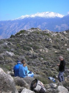
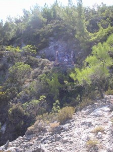
We turn left, the faint path passing a rocky outcrop to reach the highest point on the ridge, at c.680m (2230 ft). And stop here you must, for lunch, to enjoy the magnificent view of mountains, sea and islands (Gavdos/Gavdopoula), and to survey the next (and hardest) part of the walk. From here the route is clearly waymarked (red paint) into the valley some 300m below, but first you need to find the start. Look carefully for a large red-paint marker on a prominent rock. There is no obvious path through thyme and spurge, and the marking is easier to follow on an ascent. If you have a compass, the bearing is 120 deg, into a distinctive shallow gully. In the far distance, two conspicuous trees on a bare hillside indicate the direction you should aim for.
Once in the small gully, the waymarking is more frequent along a narrow path which contours the hillside, crossing two small dry streambeds (re-entrants), before swinging south onto a broad ridge and becoming steeper. If you lose the red markings, retrace to re-locate them, which lead directly down the ridge into the tree-filled gorge via a “sting in the tail” of a 3m rock wall (with good hand/footholds).
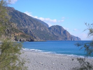
From here all is straightforward and thoroughly enjoyable, descending the upper reaches of the gorge where few people venture. A marked path (an alternative way to Sougia, see ‘Explore’ March 2010) climbs east out of the gorge after some 20 minutes, and later comes the E4 route over to Lissos (‘Explore’ October 2012). An hour or so after entering it, we reached the gorge exit at Sougia’s picturesque harbour, and in less than ten minutes were cooling off in the Libyan Sea.
[notice]
Don’t forget…The Explore book is on sale here..
Just click on the cover image below
[/notice]



Recent Comments