
Many visitors to Paleochora will have been to, or maybe even stayed overnight, at the ecological village of Milia, but fewer will have reached there on foot, ideally the correct way. Katsomatados, at the southern end of the Topolia Gorge (see ‘Explore’ July 2012) is a 32km drive from Paleochora ; the walk from there to Milia, an hour or so depending on fitness, with a steep initial climb of 250m, will guarantee an appetite for lunch.
Park at the Oasis taverna (formerly Panorama), and walk back, past a spring, to a gate with a sign to “Milia”.
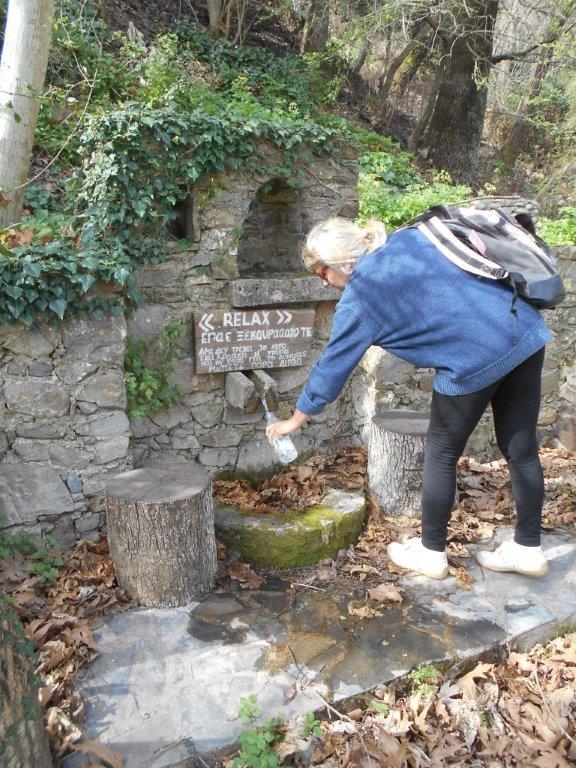
Katsomatados Spring
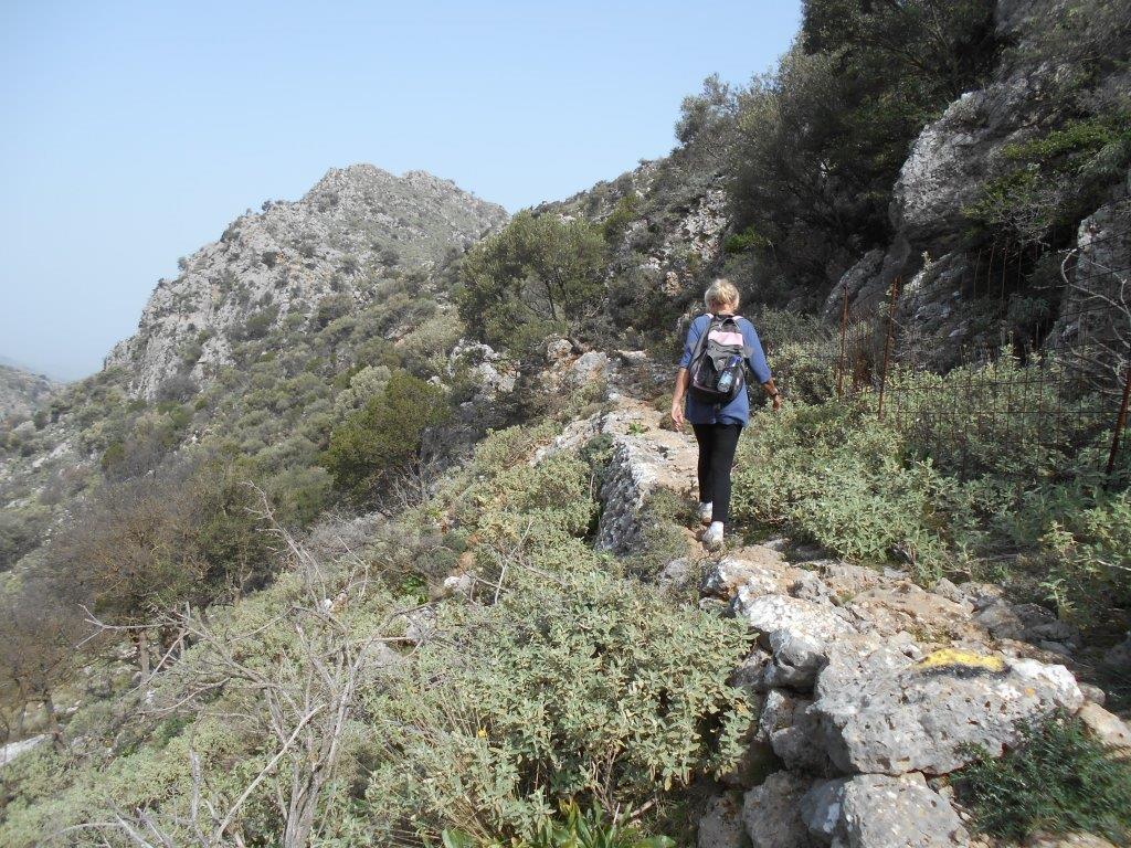
After just 50m on the track, go left, below an olive tree, then follow yellow waymarking on a narrow path up the hillside, eventually (through a smaller gate) to join a wider track, and turn right. Continue steeply upwards, pausing to enjoy views into the Topolia Gorge, across to Leventies summit, 623m, and close all wired stock gates behind you.
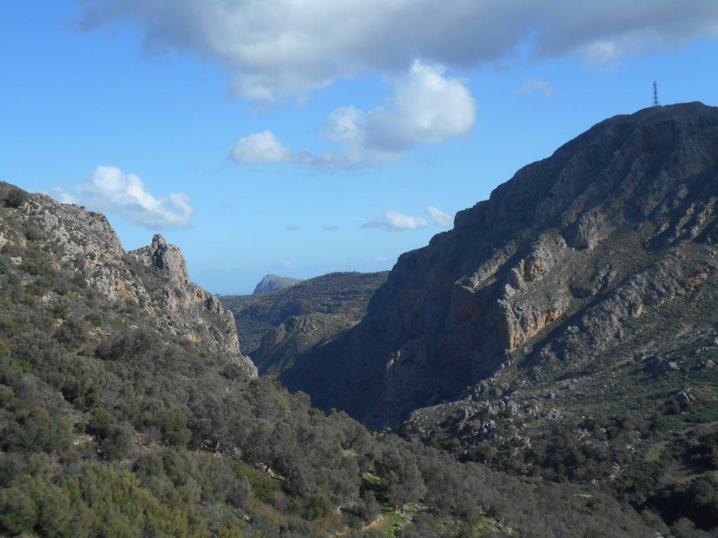
Topolia gorge
When you reach a surfaced road, walk right to, then left through a gate (you will later return here by the road.) Now the track winds downhill, with distant views of the Gramvousa peninsula on the west of Kissamos bay. After a sharp bend, note a path to the right (signed to ‘Kastelos’) which you might (or might not) decide to take later.
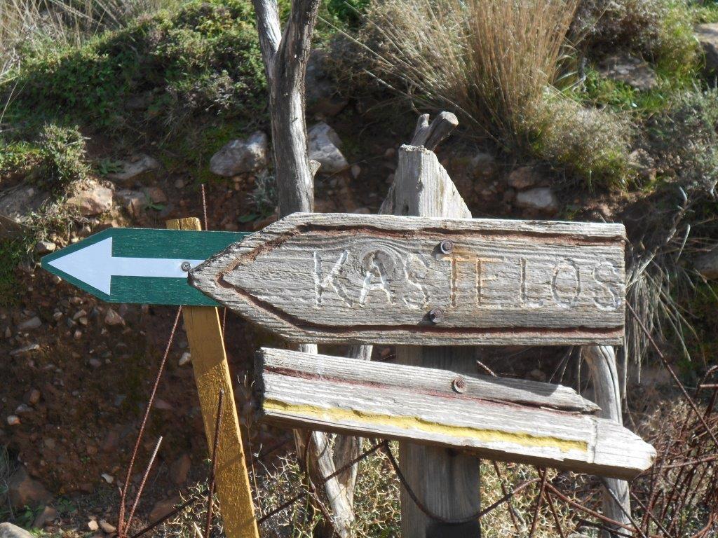
Kastelos sign
On reaching the chestnut trees at Kato (Lower) Milia, keep ahead, left of an empty house. Now following red waymarking, a path winds up below the trees, through a gate, and on to a second gate. Go up left here, to join the wide road into Milia.
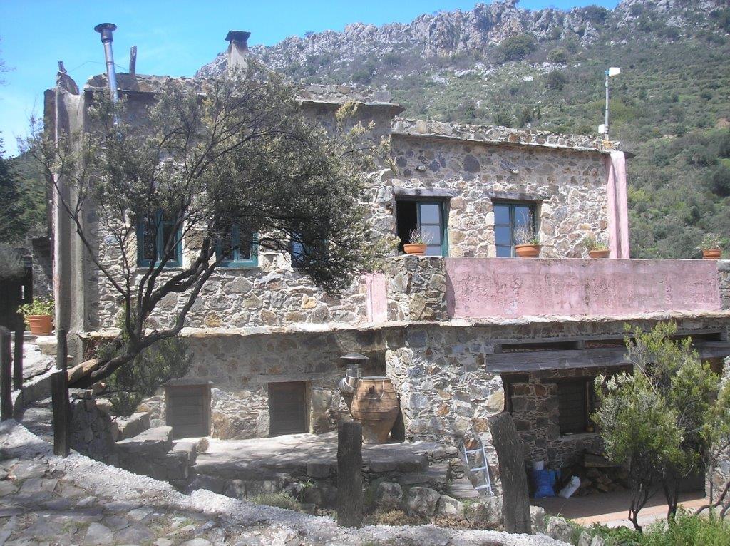
Milia taverna
Milia was inhabited from medieval times, but abandoned in 1948 ; restoration and renovation, using local materials and workers, began in 1982, and the new Milia “village” opened in 1993. It’s open all year round, with simple cottages to rent, and a restaurant open daily, serving organic food grown or raised here, with a wide reputation for its Greek and Cretan cuisine. Sit on the terrace in summer with a salad, kalitsounia (cheese & spinach pies) with fresh vegetables, or by the log fire in winter with bean soup and chestnut ‘stifado’. (Note, there are many alternatives to my vegetarian favourites!)
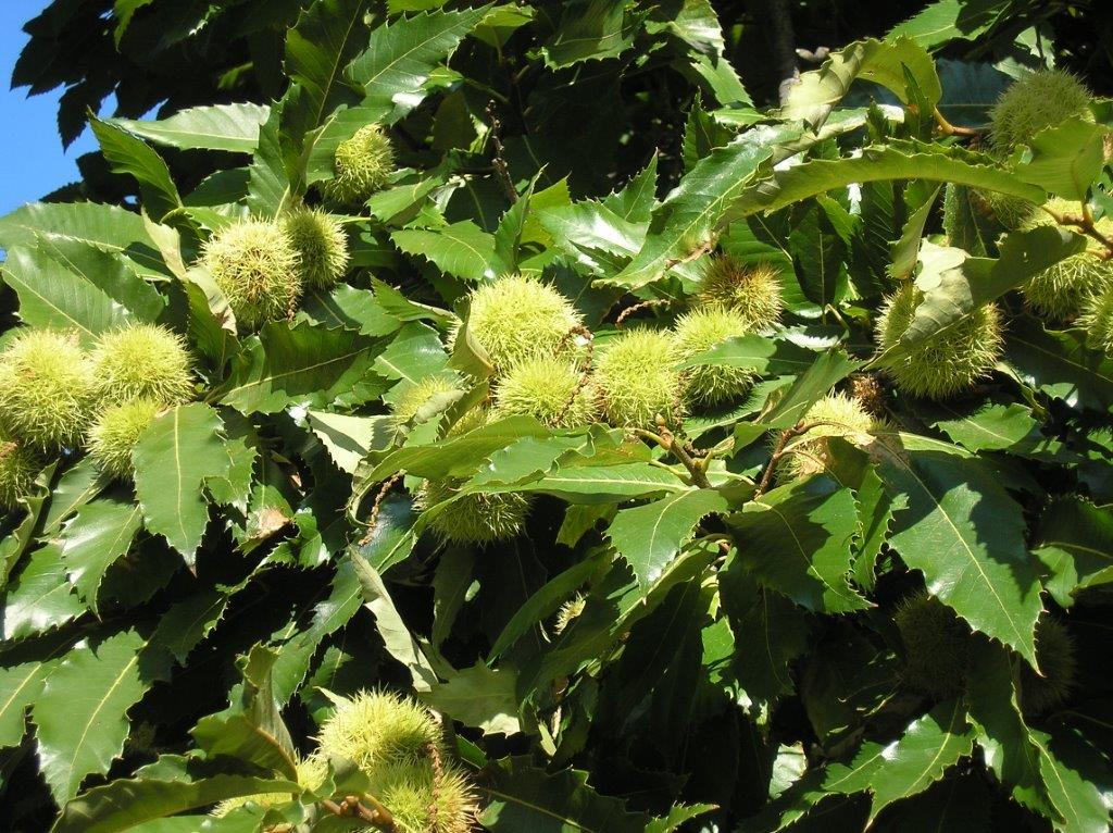
Local Chestnuts
After the inevitable ‘raki’, return by the path to Kato Milia, and to the “Kastelos” sign ; now decision time, either to return by the same route to Katsomatados, or – to walk off lunch – a longer, maybe two hours, alternative. Let’s go this way and lose some calories. Take the narrow path, leading to a fine ‘kalderimi’, a paved mule trail which climbs gently (with now white waymarking) to a small plateau.
Way to Troulu
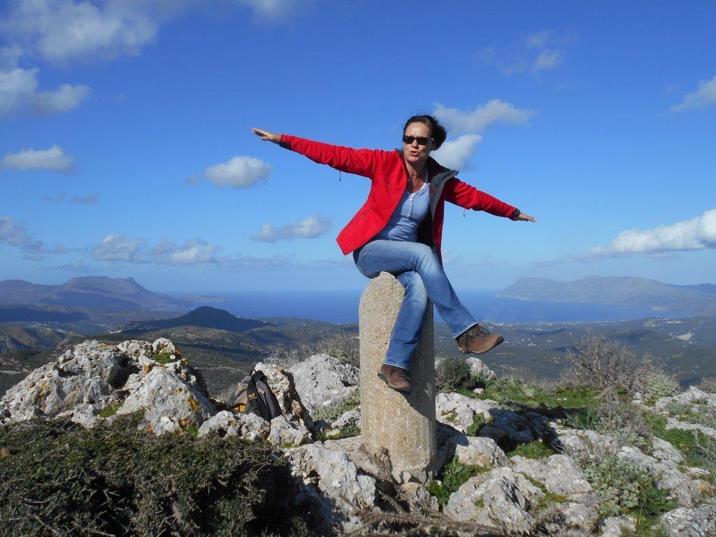
Above left are the rocky slopes of Troulu, which means “dome”, its summit at 550m. There’s a waymarked route up (red paint dots), but be warned, it’s not easy, especially near the top, where a “head for heights” is required, and some rock-climbing experience. But the view is superb, out over Kissamos Bay, and if clear, to the island of Antikythira, 55km to the NW.
Kastelos summit
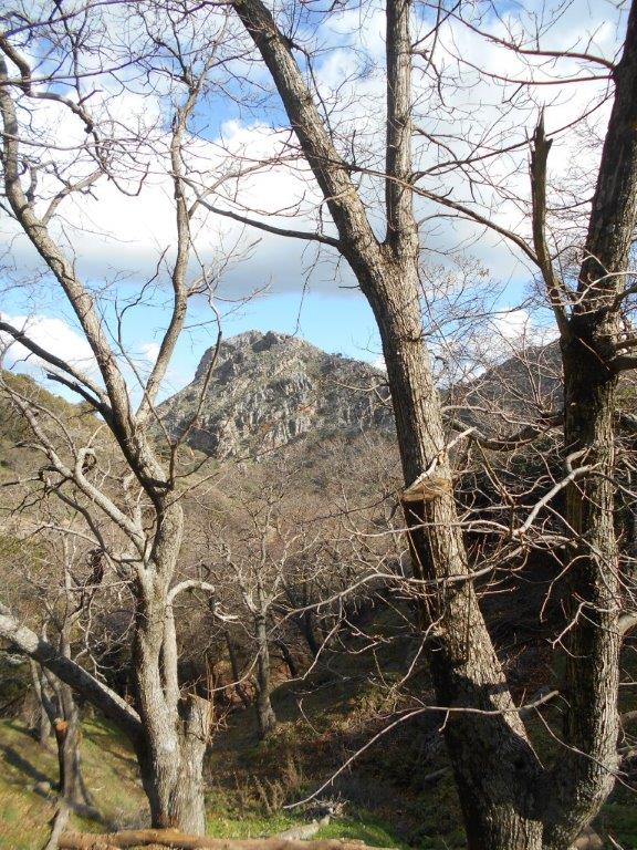
Continue north, the path later giving way to a track, which in turn leads to a surfaced road. En route, look back to the now clearly ‘domed’ peak of Troulu, especially with pride if you’ve climbed it.
Kastelos from Milia
Turn right along the road, uninteresting but with distant views to the White Mountains which will take you back to the gate to Milia, and then the route returning down to Katsomatados.

Recent Comments