
It’s just 700m from Azzuro beach, west of Paleochora, to Karavopetra beach, nearer the town, less than ten minutes’ walk. But if you go there by the route described below, it’s around 12 km and will take you between four and five hours. Unlike the recent two walks in ‘Explore !’, this one requires some route-finding ability and sure-footedness on often uneven terrain.
Drive to Azzuro beach (4.5km along the road towards Koundoura), or, by taxi (or ‘bus leaving Paleochora at 6.30am and 2.30pm) ask for the Megim Hotel. Set off west, crossing the bridge over the River Pelekaniotikos, and immediately turn right. The first part of the walk, through a builders yard, past chained and neglected dogs, and with rubbish discarded either side of the track, is less than attractive, but it will improve, I promise.
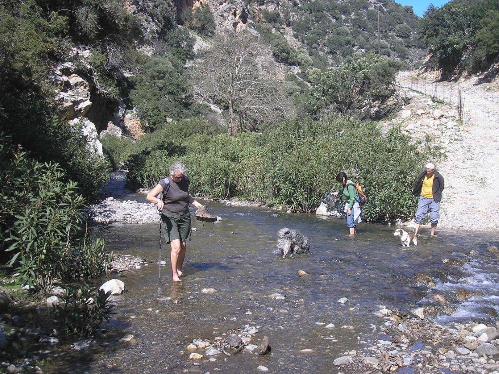
Crossing the river
Follow the track north up the wide valley, keeping left (uphill) at a fork where a path leads right to Ag. Georgios church. After approx. 3km from setting off, slope down to cross the river, which will almost certainly be dry in summer – in February we had to wade across. Flourishing oleanders indicate how much water flows down the valley during the winter. A Greek ‘gate’ on the far side may need opening and re-wiring after you. Now on the east side of the river, you will soon reach the “mauvais pas” or ‘bad step’, where a landslip some years ago resulted in the track now continuing some distance above you, requiring a scramble over boulders and loose earth to reach it. The easiest way is by climbing to the right, keeping below the steep wall, to reach easier ground and rejoin the rough track.
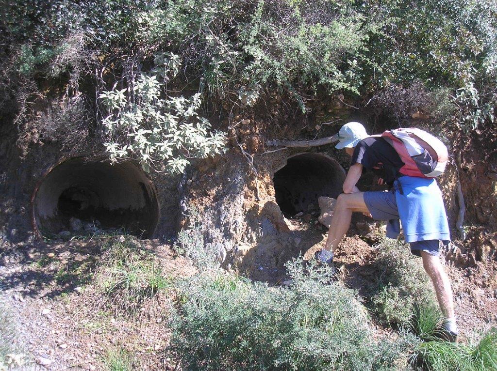
Minoan Burials?
Continue steadily uphill, through one or more ‘gates’ to a more substantial one, and beyond this look carefully for three half-buried clay urns – ‘pithoi’ – which came to light when the road was cut. Research indicates these may have been late Minoan burial urns, but any further suggestions please tell us. Just 10m further, climb up right to meet a narrow path, and the start of the return journey to the coast. Blue-painted arrows and way-marking facilitate route-finding now; this was part of Paleochora’s 2013 “Community Health Walk” held in April, from Voutas to the sea. The path along the ridge is delightfully scenic, first on the west side with views back to Voutas, later on the east, overlooking Kondokinigi. This was almost certainly the original way from Voutas to the coast, long before the valley roads were constructed.
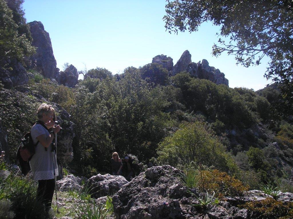
The path along the ridge
Look carefully for several burial chambers, the best of which is below and left of the footpath, which eventually becomes a wider track, close to more graves, one of which has been cut right through the rock. The track leads to the 15th century Byzantine church of Agios Georgios, with a more recently built bell-tower close by. The church is usually unlocked, and has frescoes which, like many in the area, were probably defaced by the Ottomans during their long occupation. Go left, on the descending track which leads to the Paleochora/Voutas road, 2km away.

Ag. Georgos
At the main road walk right for 300m down to the Tsaliana village sign, and turn right again before the bridge, parallel with the river. Pass by several groups of houses, many of which are unoccupied, and after 1km reach Tsaliana’s pretty church, where there is a water tap. Go past the church, ignoring the track right, and curve round the bend. Look carefully for a small path, or follow the way-marking, which takes you steeply down into the riverbed.
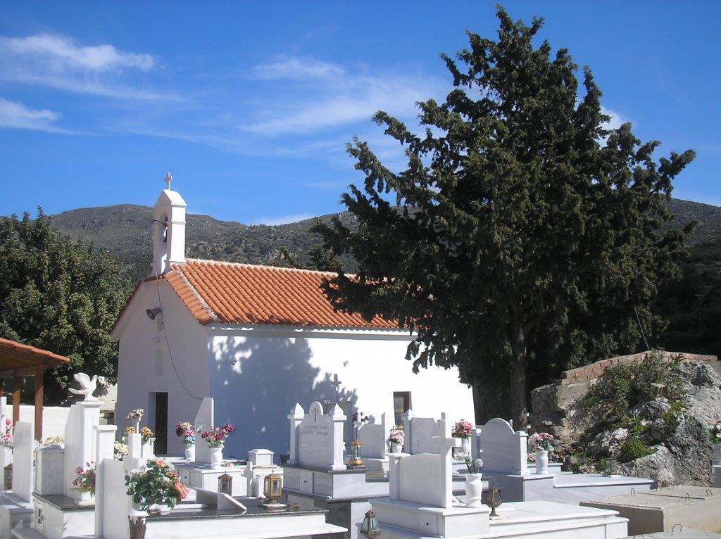
Tsaliana Church
Outside the summer months there will be running water, and some ‘boulder-hopping’ from side to side of the river may be necessary, otherwise a path keeps mainly to the left bank, through carob trees which later give way to olive groves. Eventually the blue way-marking leads right, into the riverbed, which is followed to a difficult exit at Plakaki beach. Better to ignore this, keeping left and rising slightly, on a path with black water pipes alongside. This soon meets a rough track, with a massive scree slope on the hillside across the river ; go left here, passing a rather plain church (Ag. Ioannis) and a ruined olive mill. Just a little further is the main road and Karavopetra beach.
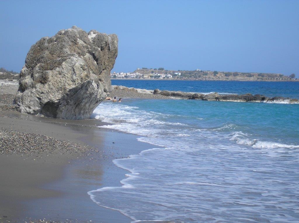
Ready for a dip?
The distance back to Paleochora is 3km. The road is unavoidable for the first 1km, but soon after the little cove at Psilos Volakas you can keep to the seashore all the way to Paleochora’s long sandy beach.
Don’t forget – You can get the Explore digital book with 10 fantastic “hidden” walks in the Paleochora area. On sale now: Click Here for details

Recent Comments