
Viewpoints from where you can look up to snow-covered 2000m high peaks and down to turquoise seas lapping deserted beaches must be few and far between, but there are many such places near Paleochora. Here’s a short walk suitable for a winter’s day, or an early morning or evening stroll during the heat of summer months.
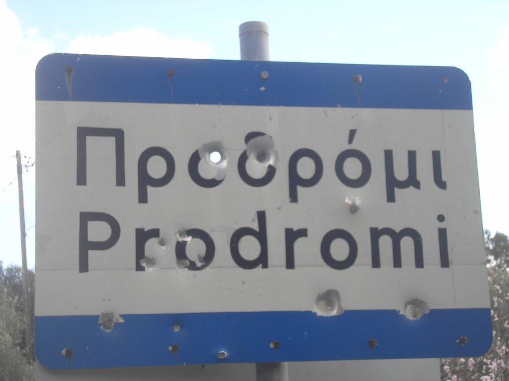 Prodromi, 500m above sea level, lies 13km north-east of Paleochora, easily through Anidri, then a further 8km on a road not for the faint-hearted. As you enter the village, a road signed to Lissos branches off right ; park here, where the walk will end. Set off ahead, around an ‘S’ bend through the village, where the cafeneio with a reputation for local yoghurt and honey is sadly no more, then turn up right alongside the Archon Villa.
[ez_two]
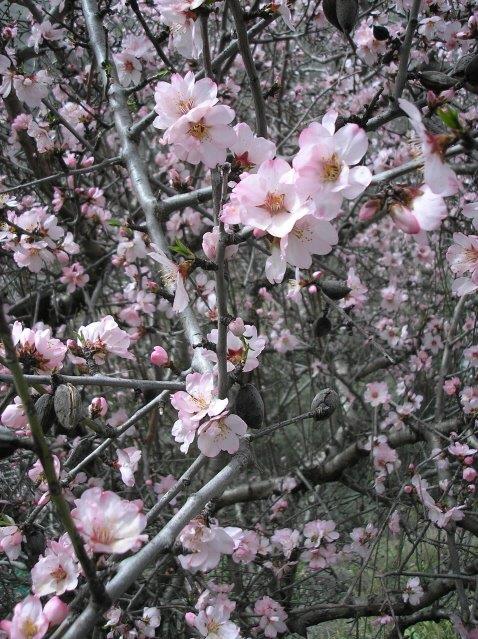
Pink almond blossom
[/ez_two]
[ez_two_last]

Romulea bulbocodium
[/ez_two_last]
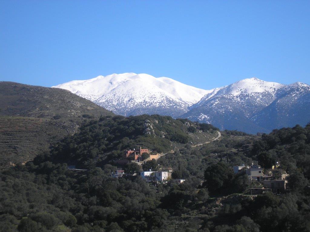
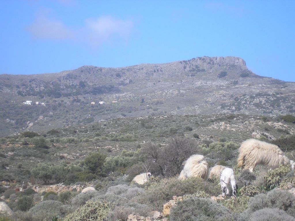
Wild flowers and almond blossom are now appearing in profusion after a prolonged and unusually wet winter. As the track climbs gently, keep right at a fork, then through a ‘gate’ to reach the watershed – and the view, one of Lynne’s favourites and mine too. The White Mountains summit of Psilafi, 1984m, dominates, especially if snow-capped, whilst almost 2000m below is the Libyan Sea, with Profitis Ilias church perched high above Cape Tripiti, and the rugged south coastline stretching away towards Domata beach.
Easily downhill now, passing (right) a fine rock-cut tomb, Dorian, and similar to those above Kadros and Tsaliana.

Then take the second track right, which leads south, away from the valley below. The main track continues east, via a shepherding area, and could take you eventually to Sougia by following the narrow Kakos Potamos, although its translation of “bad or evil river” gives an indication of the difficulties involved.
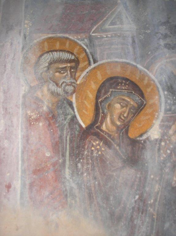
Follow the track for 600m until it ends below a ‘Z’ bend, then continue in the same direction for approx. 100m, along a faint path through olive trees, and dropping down three low terrace walls to reach the church of Ag. Petros & Pavlos. If it’s open, there’s a good fresco of Joseph and Mary ; if not, relax outside and enjoy the views out to sea, to Gavdos especially on a clear day.
[ez_two]
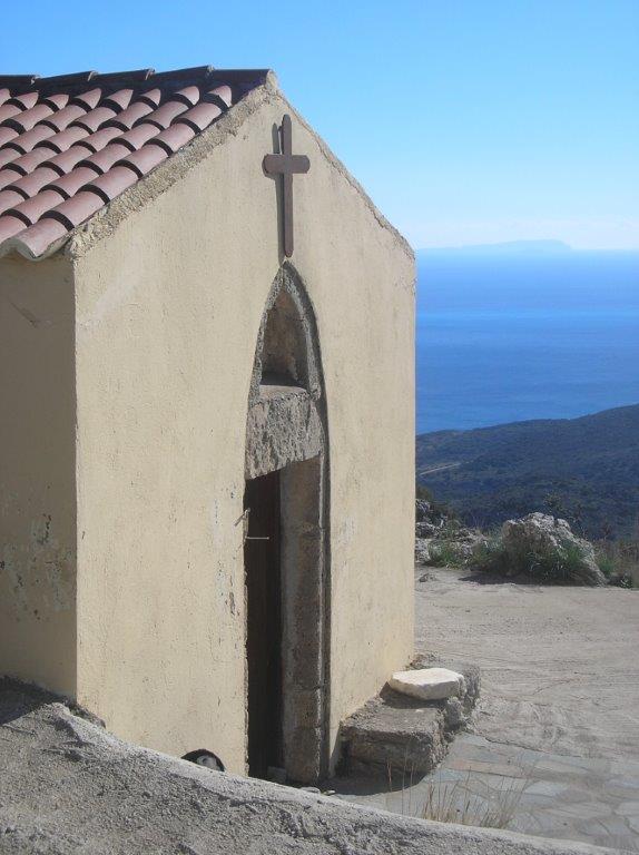
Ag Petros & Pavlos
[/ez_two]
[ez_two_last]
Prodromi frescoes
[/ez_two_last]
From the church, join the wide track which leads down to the E4 coast path at the head of the “Crocodile”, and head up right, inland. At a wired ‘gate’, pause for a last look along the coast – Domata beach is now in full view, and Cape Plaka, beyond which lie Loutro and Chora Sfakion.
Below left (SW) is the deep narrow defile, rocky, twisting and turning, shown on the map as Arkales Potamos, but known colloquially as ‘Laura Gorge’ after its first known descendant.
Platanes & Irtakina
Stay on the main track, then right at a junction for a last short climb, and, with Prodromi below and in the distance the Dorian fortress of Yrtakina (see ‘Explore’ February 2011), a gentle walk back down to your car. The whole circuit, even with frequent stops to enjoy the views, will take well under two hours, a short but pleasurably sweet excursion.

Recent Comments